
Image: Independence II Battlefield Missouri
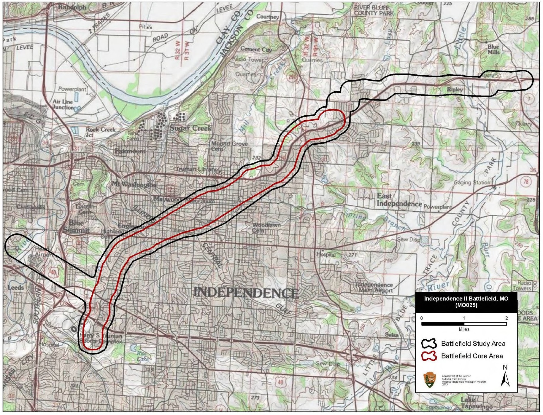
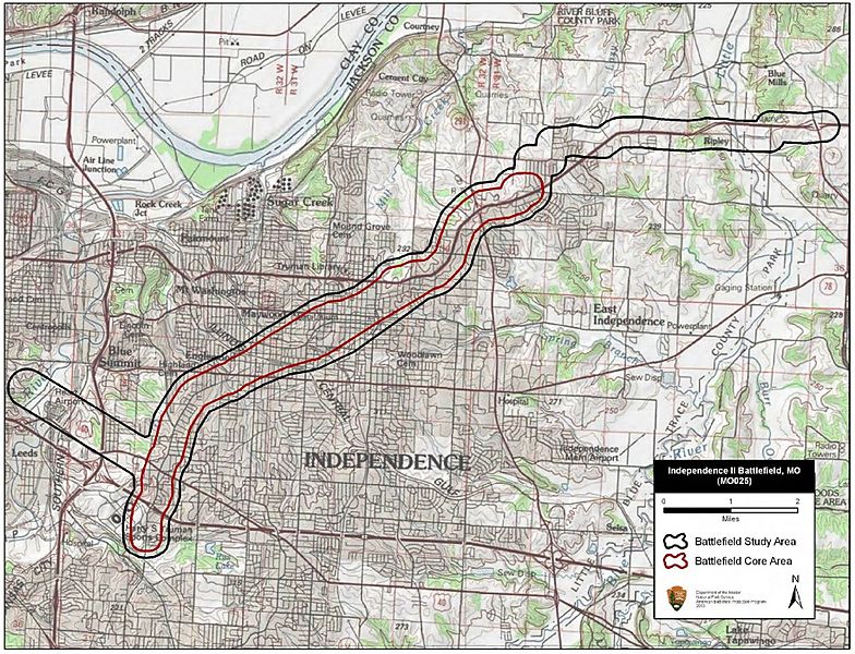
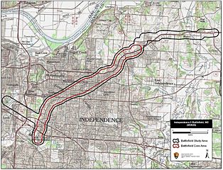
Description: Map of battlefield core and study areas. The 1993 Study Area and Core Area did not accurately reflect the full extent of the battle landscape. The ABPP expanded the Study Area to include all of the locations of fighting, and realigned the boundaries to follow the historic road network more closely. The ABPP added the Union approach route to Independence from the east and the route used by withdrawing Confederates to the southwest of town. The ABPP expanded the Core Area significantly to include the initial point of contact between Union and Confederate forces; the area of subsequent fighting through the town of Independence; the Confederate lines of battle in town; and areas of sustained engagement along the Confederate route of withdrawal the southwest. The portions of the Study Area and Core Area that represent this southwestern movement end at a mileage point described in action reports found in The War of the Rebellion: a Compilation of the Official Records of the Union and Confederate Armies.
Title: Independence II Battlefield Missouri
Credit: National Park Service
Author: American Battlefield Protection Program
Usage Terms: Public domain
License: Public domain
Attribution Required?: No
Image usage
The following page links to this image:
