
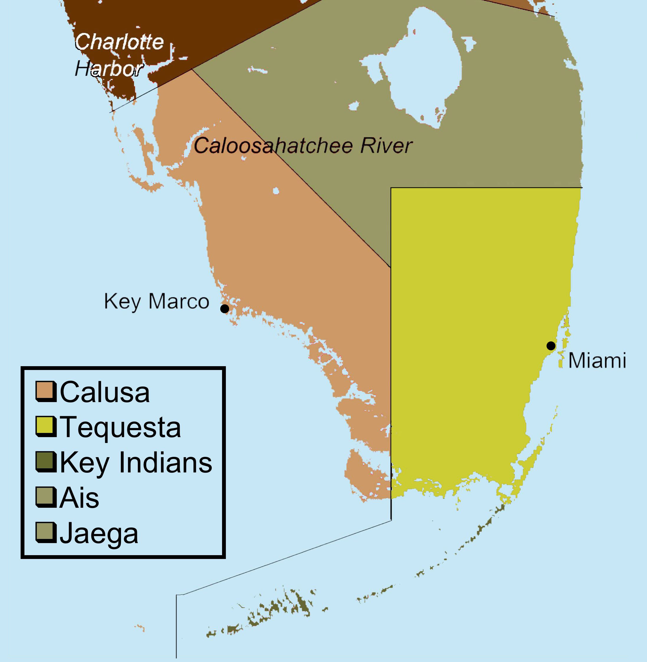
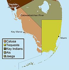
Image: Indigenous people of Everglades map
Size of this preview: 586 × 600 pixels. Other resolutions: 234 × 240 pixels | 2,197 × 2,249 pixels.
Original image (2,197 × 2,249 pixels, file size: 479 KB, MIME type: image/jpeg)
Description: This map shows the territories of Historic period tribes that lived in and around the Everglades region from 1513 to 1743. The map was created using data from: Griffin, John (2002). Archeology of the Everglades. University Press of Florida. ISBN 0813025583 p. 163.
Title: Indigenous people of Everglades map
Credit: Transferred from en.wikipedia to Commons by Rlevse.
Author: Moni3 at English Wikipedia
Usage Terms: Public domain
License: Public domain
Attribution Required?: No
Image usage
The following page links to this image:

All content from Kiddle encyclopedia articles (including the article images and facts) can be freely used under Attribution-ShareAlike license, unless stated otherwise.