
Image: Iowa cessions map
Size of this preview: 800 × 599 pixels. Other resolutions: 320 × 240 pixels | 3,009 × 2,254 pixels.
Original image (3,009 × 2,254 pixels, file size: 4 MB, MIME type: image/png)
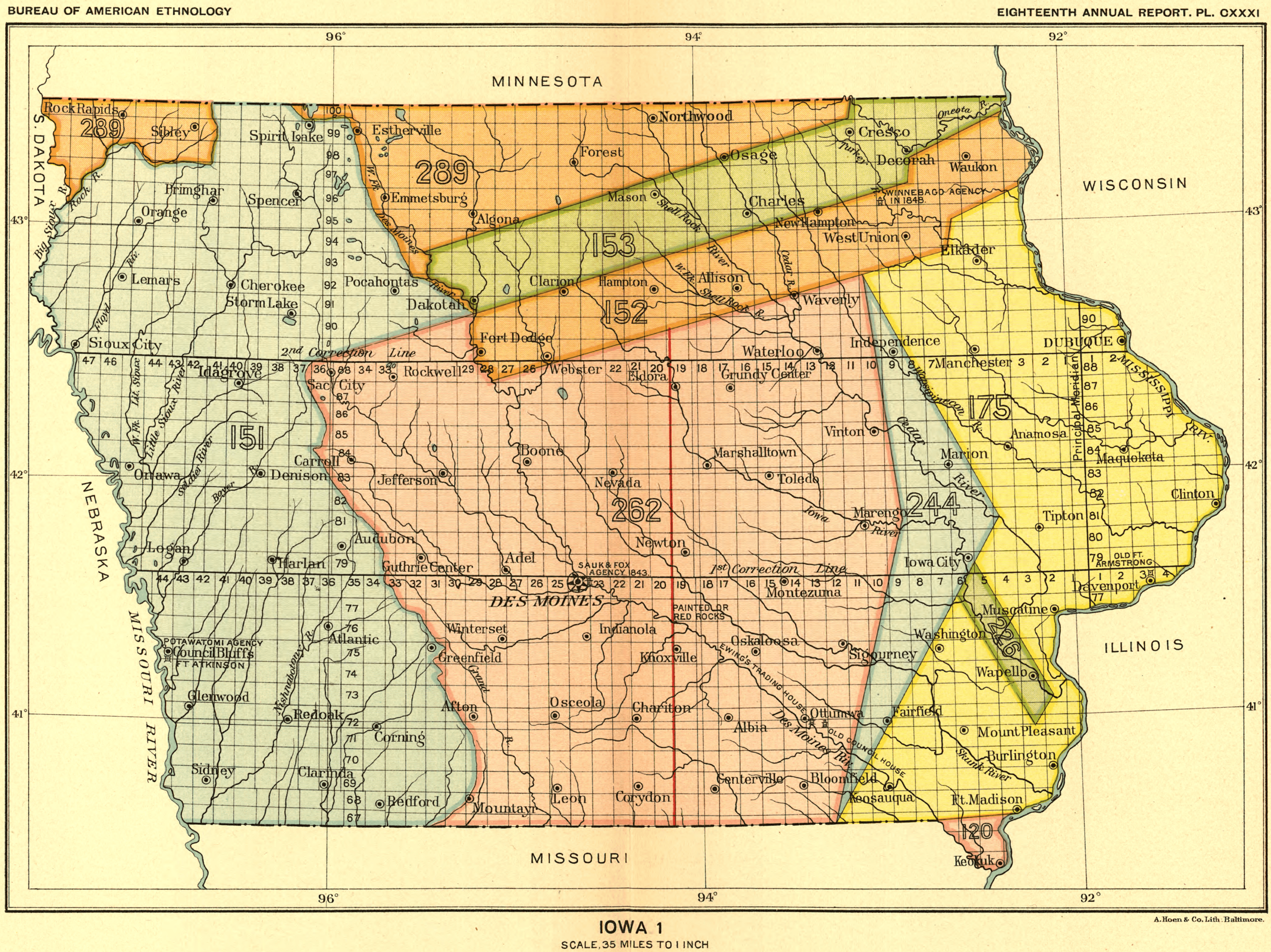
Description: Map showing the land ceded in the state of Iowa to the United States by Native Americans in various treaties.
Title: Iowa cessions map
Credit: Indian land cessions in the United States, Library of Congress
Author: Royce, Charles C., 1845-1923
Usage Terms: Public domain
License: Public domain
Attribution Required?: No
Image usage
The following 3 pages link to this image:

All content from Kiddle encyclopedia articles (including the article images and facts) can be freely used under Attribution-ShareAlike license, unless stated otherwise.