
Image: Irrigation along the Shebelle River
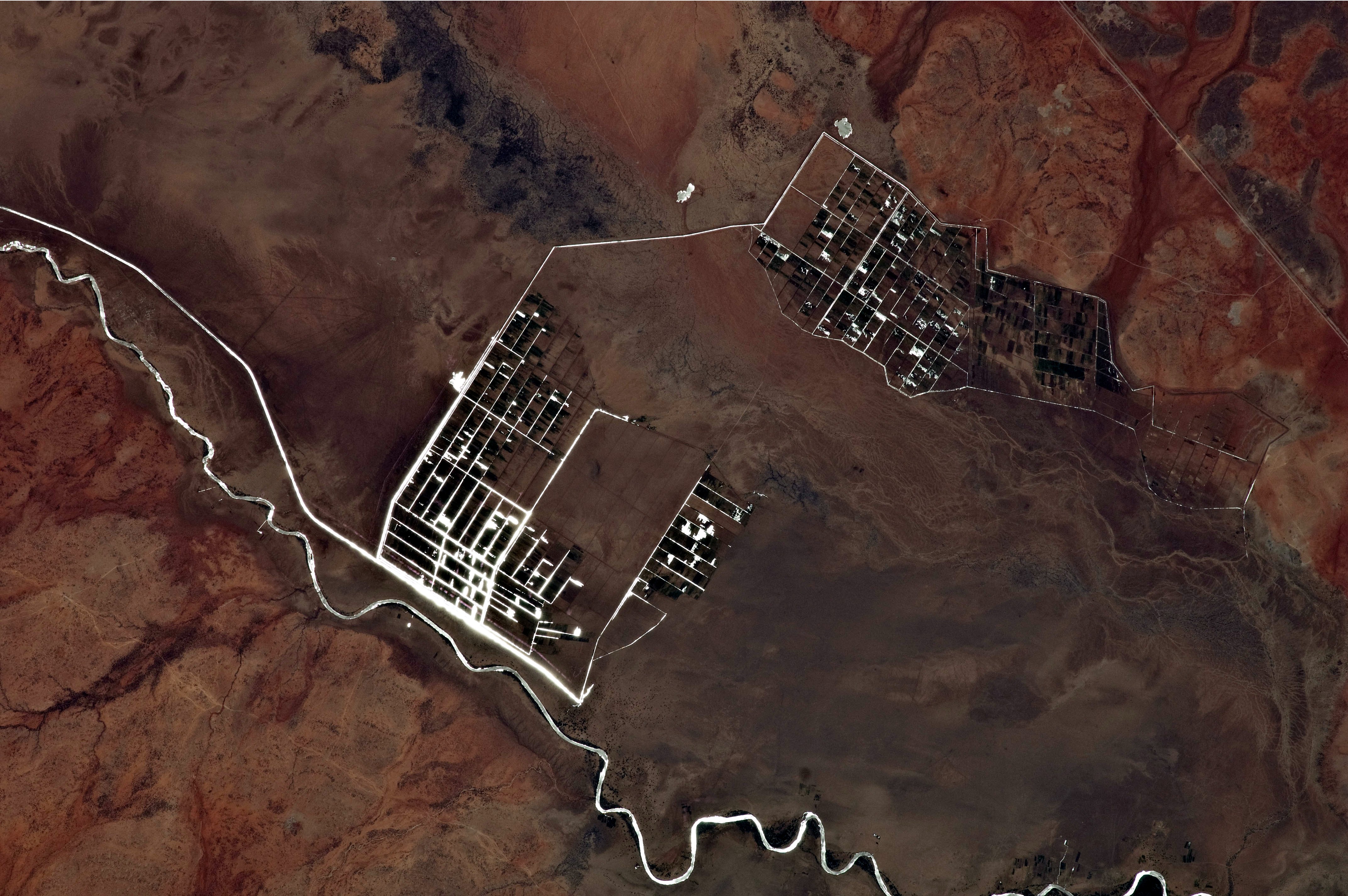
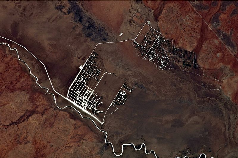
Description: This astronaut photograph illustrates a network of irrigation canals and fields located approximately 42 kilometers to the west-northwest of the city of Gode. Floodplain sediments and soils are dark brown to gray (image center), and contrast with the reddish rocks and soils on the adjacent plateau. Vegetation in the flood plain (image top center) and agricultural fields is dark green. Water in the Shebelle River and the irrigation canals has a bright, mirror-like appearance due to sun-glint, or light reflecting off the water surface back toward the International Space Station.
Title: Irrigation along the Shebelle River
Credit: NASA Earth Observatory
Author: ISS Expedition 27 crew
Usage Terms: Public domain
License: Public domain
Attribution Required?: No
Image usage
The following page links to this image:
