
Image: Karangahape Road Aerial Photo In 1957
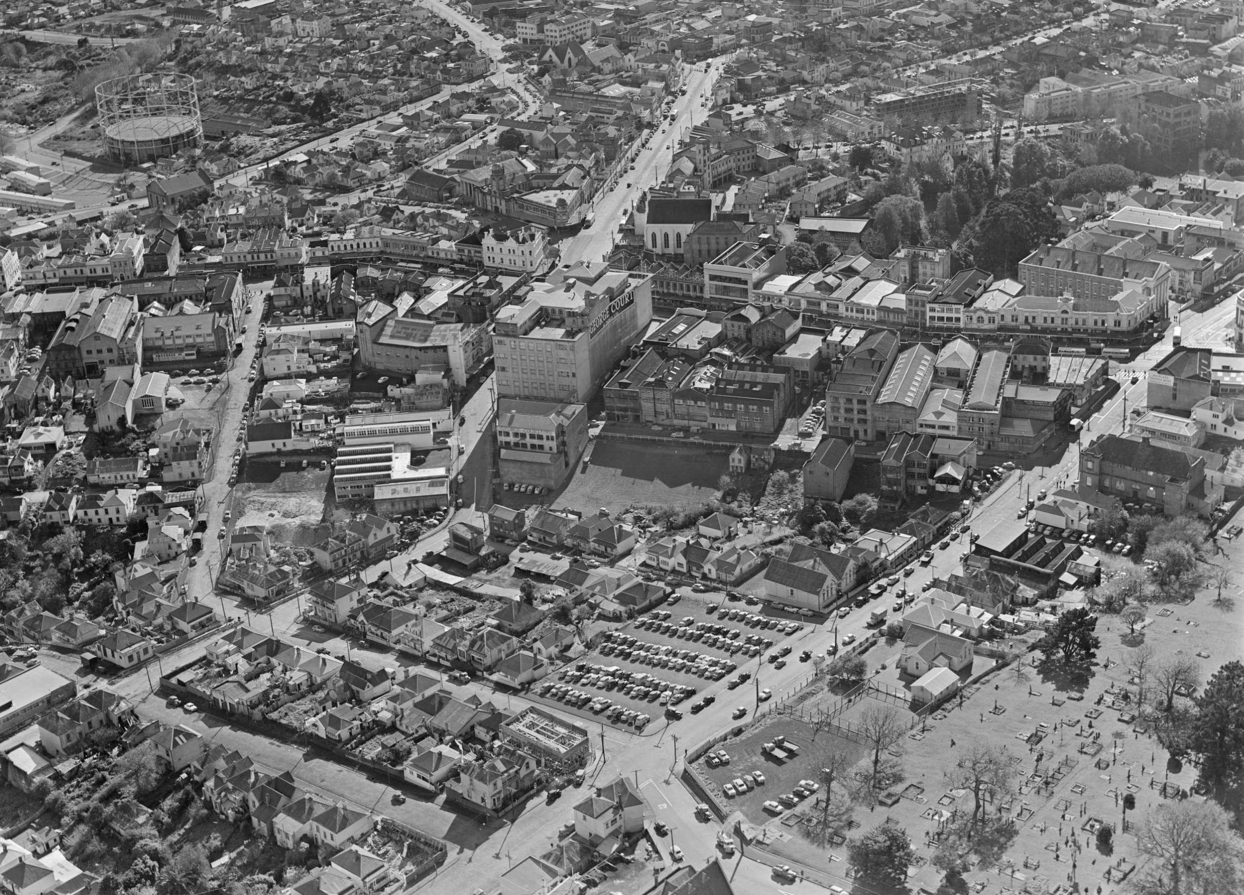
Description: Looking northwest over Karangahape Road at the southern end of what will be known as the Auckland CBD. Pitt Street running away into the northwest, Upper Queen Street in the front-foreground. Particular visible buildings are the gasometer in the northwest, and the 'George Court' department store in the left-centre. Coordinates approximate, somewhere above the eastern Central Motorway Junction of today. Extended information on origin webpage reads: Aerial view of Karangahape Road and surrounding area, Auckland. Photograph taken 4 June 1957 by Whites Aviation.
Title: Karangahape Road Aerial Photo In 1957
Credit: National Library of New Zealand (Alexander Turnbull Library).
Author: The National Library of New Zealand (Alexander Turnbull Library) states specifically that the author is unknown. See relevance of this below.
Permission: See below. It should be noted that NZ copyright provides a term of 50 years after the author's death/publication by a corporation. Therefore, based on the publication date, this document is in the public domain.
Usage Terms: Public domain
License: Public domain
Attribution Required?: No
Image usage
The following page links to this image:
