
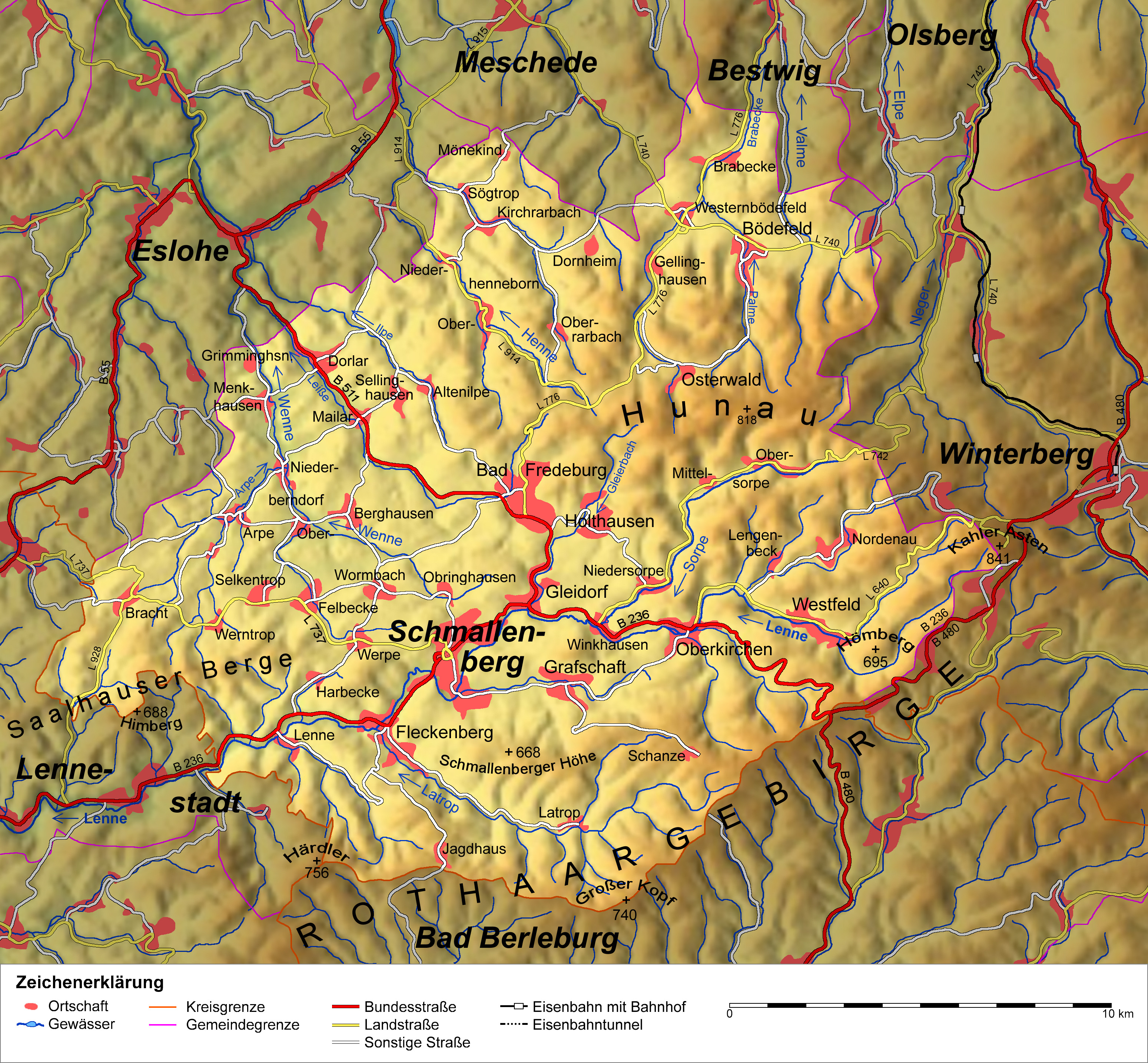
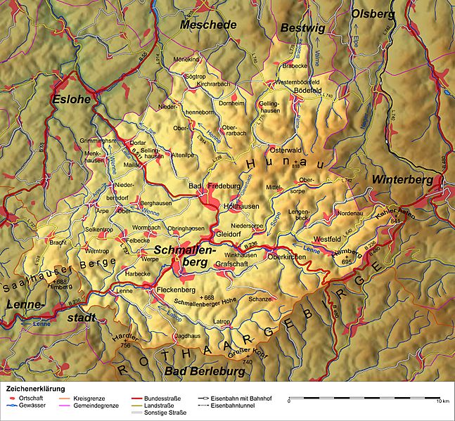
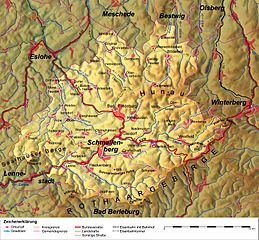
Image: Karte Schmallenberg v1
Size of this preview: 647 × 599 pixels. Other resolutions: 259 × 240 pixels | 3,098 × 2,870 pixels.
Original image (3,098 × 2,870 pixels, file size: 3.62 MB, MIME type: image/jpeg)
Description: Topografische Karte von Schmallenberg / Stadtgebiet hervorgehoben
Title: Karte Schmallenberg v1
Credit: Relief www.maps-for-free.com, Sonstige Informationen nach TK200
Author: SteveK
Usage Terms: Creative Commons Attribution-Share Alike 3.0
License: CC BY-SA 3.0
License Link: http://creativecommons.org/licenses/by-sa/3.0
Attribution Required?: Yes
Image usage
The following page links to this image:

All content from Kiddle encyclopedia articles (including the article images and facts) can be freely used under Attribution-ShareAlike license, unless stated otherwise.