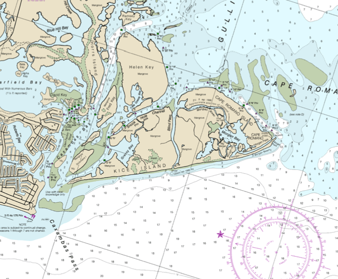
Image: Kice Island chart
Kice_Island_chart.png (684 × 565 pixels, file size: 155 KB, MIME type: image/png)
Description: This chart shows Kice Island, including former parts of the island that are now separated by new channels. Cape Romano is at the southern (right) end of the original Kice Island.
Title: Kice Island chart
Credit: https://www.charts.noaa.gov/PDFs/11430.pdf
Author: Staff of NOAA Coast Survey
Usage Terms: Public domain
License: Public domain
Attribution Required?: No
Image usage
The following page links to this image:

All content from Kiddle encyclopedia articles (including the article images and facts) can be freely used under Attribution-ShareAlike license, unless stated otherwise.

