
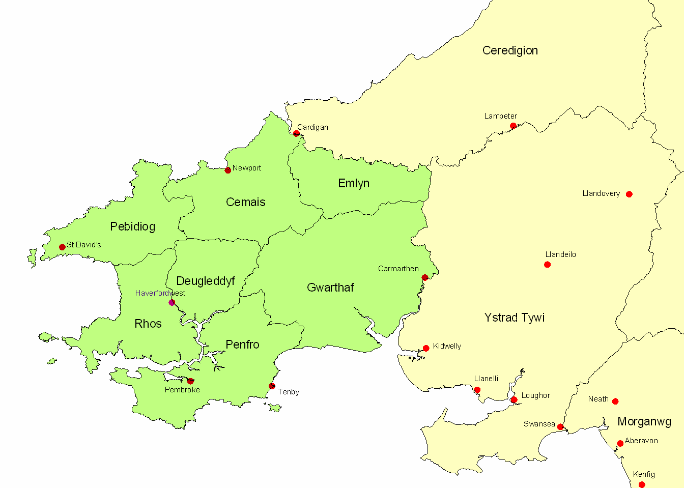
Image: LDDyfedCantrefi
Size of this preview: 800 × 571 pixels. Other resolutions: 320 × 228 pixels | 1,344 × 959 pixels.
Original image (1,344 × 959 pixels, file size: 22 KB, MIME type: image/png)
Description: Map of ancient Dyfed, showing its position in southwest Wales, various important medieval towns, and its 7 cantrefs.
Title: LDDyfedCantrefi
Credit: Transferred from en.wikipedia to Commons.
Author: LinguisticDemographer at English Wikipedia
Usage Terms: Public domain
License: Public domain
Attribution Required?: No
Image usage
The following 3 pages link to this image:

All content from Kiddle encyclopedia articles (including the article images and facts) can be freely used under Attribution-ShareAlike license, unless stated otherwise.