
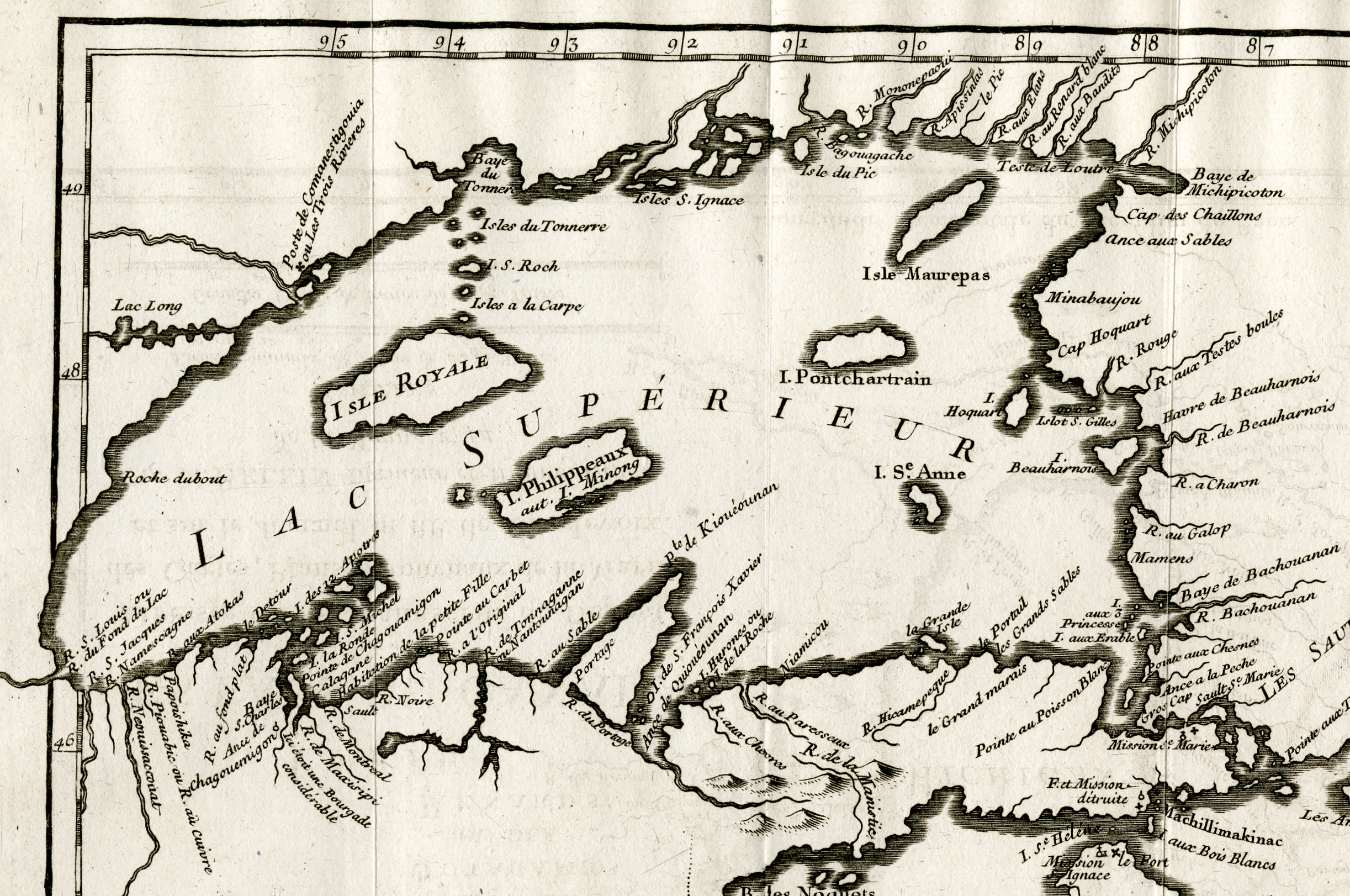
Image: Lake Superior by Bellin 1744
Size of this preview: 800 × 531 pixels. Other resolutions: 320 × 212 pixels | 2,445 × 1,622 pixels.
Original image (2,445 × 1,622 pixels, file size: 7.01 MB, MIME type: image/png)
Description: Excerpt from "Carte des Lacs du Canada" created in 1742, published in 1744 by Jacques-Nicolas Bellin, showing Lake Superior and its islands, including Isles Royale, Philippeaux, Pontchartrain, Maurepas, and Saint Anne's.
Usage Terms: Public domain
Image usage
The following page links to this image:

All content from Kiddle encyclopedia articles (including the article images and facts) can be freely used under Attribution-ShareAlike license, unless stated otherwise.