
Image: Lapin liikenne
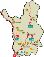
Size of this preview: 469 × 600 pixels. Other resolutions: 188 × 240 pixels | 1,107 × 1,416 pixels.
Original image (1,107 × 1,416 pixels, file size: 53 KB, MIME type: image/png)
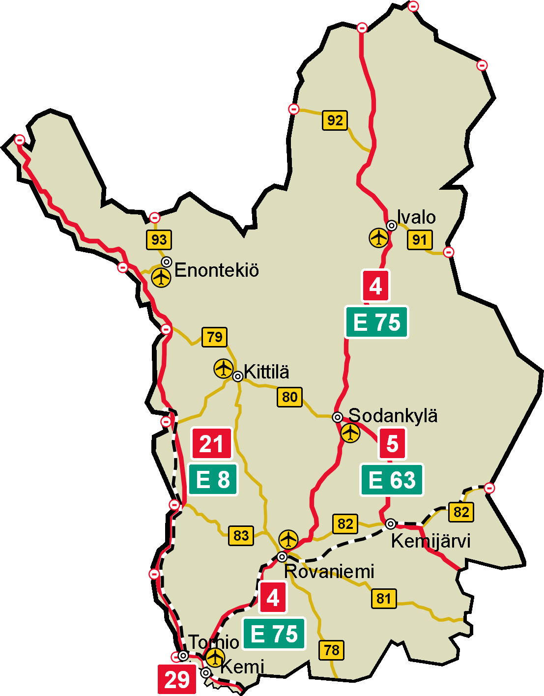
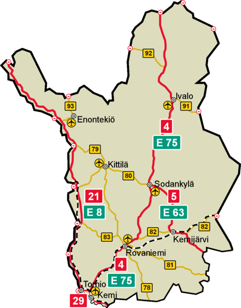
Description: Traffic map of the Finnish province of Lapland. Shown: most important towns, 1st class national highways (red), 2nd class national highways (yellow), border crossing points, railroads and airports.
Title: Lapin liikenne
Credit: Own work
Author: BishkekRocks
Permission: GNU-FDL
Usage Terms: Creative Commons Attribution-Share Alike 3.0
License: CC-BY-SA-3.0
License Link: http://creativecommons.org/licenses/by-sa/3.0/
Attribution Required?: Yes
Image usage
The following page links to this image:

All content from Kiddle encyclopedia articles (including the article images and facts) can be freely used under Attribution-ShareAlike license, unless stated otherwise.