
Image: Las Bela Map
No higher resolution available.
Las_Bela_Map.gif (700 × 600 pixels, file size: 11 KB, MIME type: image/gif)
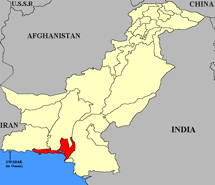
Description: This map shows the relative position of Las Bela (princely state) until 1955.
Title: Las Bela Map
Credit: Transferred from en.wikipedia to Commons.
Author: Green Giant at English Wikipedia
Usage Terms: Creative Commons Attribution-Share Alike 4.0
License: CC BY-SA 4.0
License Link: http://creativecommons.org/licenses/by-sa/4.0
Attribution Required?: Yes
Image usage
The following page links to this image:

All content from Kiddle encyclopedia articles (including the article images and facts) can be freely used under Attribution-ShareAlike license, unless stated otherwise.