
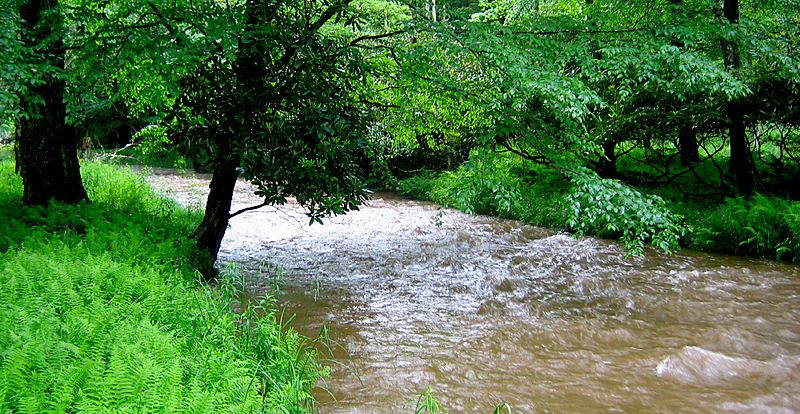
Image: Laurel Fork, Highland County, Virginia USGS

Size of this preview: 800 × 414 pixels. Other resolutions: 320 × 166 pixels | 1,364 × 706 pixels.
Original image (1,364 × 706 pixels, file size: 1.21 MB, MIME type: image/jpeg)
Description: Laurel Fork in Highland County, Virginia. Approaching bankfull stage.
Title: Laurel Fork, Highland County, Virginia USGS
Credit: http://pubs.usgs.gov/of/2009/1007/pdf/ofr2009-1007.pdf Annual Maximum Stages and Discharges of Selected Streams in Virginia through 2007, USGS
Author: Samuel H. Austin, USGS
Usage Terms: Public domain
License: Public domain
Attribution Required?: No
Image usage
The following page links to this image:

All content from Kiddle encyclopedia articles (including the article images and facts) can be freely used under Attribution-ShareAlike license, unless stated otherwise.