
Image: Location map United Kingdom Preston 2012

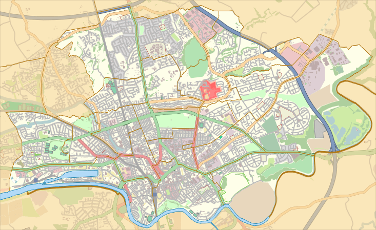
Description: Map of the unparished area of en:Preston, Lancashire, England, from April 2012. Equirectangular map projection on WGS 84 datum, with N/S stretched 165% Geographic limits: West: 2.770° W East: 2.620° W North: 53.802° N South: 53.747° N
Title: Location map United Kingdom Preston 2012
Credit: This file was derived from: Preston UK ward map 2010 (blank).svg: http://www.openstreetmap.org/?lat=53.7745&lon=-2.695&zoom=12&layers=M accessed 2013-01-18
Author: Preston UK ward map 2010 (blank).svg: Nilfanion, created using Ordnance Survey data OpenStreetMap: OpenStreetMap contributors derivative work: Dr Greg
Usage Terms: Creative Commons Attribution-Share Alike 4.0
License: CC BY-SA 4.0
License Link: https://creativecommons.org/licenses/by-sa/4.0
Attribution Required?: Yes
Image usage
The following 3 pages link to this image:
