
Image: Lost Hills, California western town limits sign (crop) (2011)

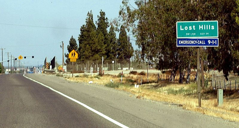
Description: Western town limits sign for the census-designated place of Lost Hills, California as seen from the eastbound lane of State Route 46 (Paso Robles Highway) between Pavilion Way and the Governor Edmund G. Brown California Aqueduct crossing. View looking east. This photograph was taken with an Olympus E-510 DSLR camera and edited (color balance, brightness, contrast, saturation, sharpness) using ArcSoft PhotoStudio 5.5)
Title: Lost Hills, California western town limits sign (crop) (2011)
Credit: This file was derived from Lost Hills, California western city limit sign (2011).jpg:
Author: Lost_Hills,_California_western_city_limit_sign_(2011).jpg: Amin Eshaiker derivative work: Amineshaker
Permission: If you use this photograph outside Wikimedia, I would highly appreciate if you let me know by email or on my talk page, as I'm curious where my work is used.
Usage Terms: Creative Commons Attribution-Share Alike 3.0
License: CC BY-SA 3.0
License Link: http://creativecommons.org/licenses/by-sa/3.0
Attribution Required?: Yes
Image usage
The following page links to this image:

_(2011).jpg)