
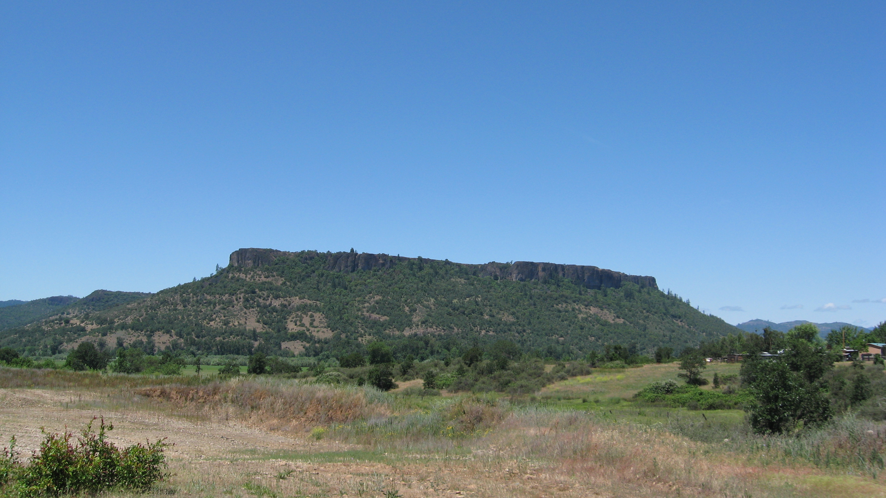
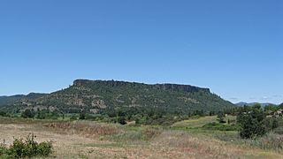
Image: Lower Table Rock from the south
Size of this preview: 800 × 450 pixels. Other resolutions: 320 × 180 pixels | 3,072 × 1,728 pixels.
Original image (3,072 × 1,728 pixels, file size: 2.14 MB, MIME type: image/jpeg)
Description: I took this picture myself from just off of Kirtland Road, south of Lower Table Rock. The coordinates are approximately 42°25′45″N 122°56′04″W / 42.4291°N 122.9345°W / 42.4291; -122.9345
Title: Lower Table Rock from the south
Credit: Own work
Author: ZabMilenko
Usage Terms: Creative Commons Attribution 3.0
License: CC BY 3.0
License Link: https://creativecommons.org/licenses/by/3.0
Attribution Required?: Yes
Image usage
The following page links to this image:

All content from Kiddle encyclopedia articles (including the article images and facts) can be freely used under Attribution-ShareAlike license, unless stated otherwise.