
Image: MH370 scheduled flight map with labels

Size of this preview: 671 × 600 pixels. Other resolutions: 269 × 240 pixels | 906 × 810 pixels.
Original image (906 × 810 pixels, file size: 68 KB, MIME type: image/png)
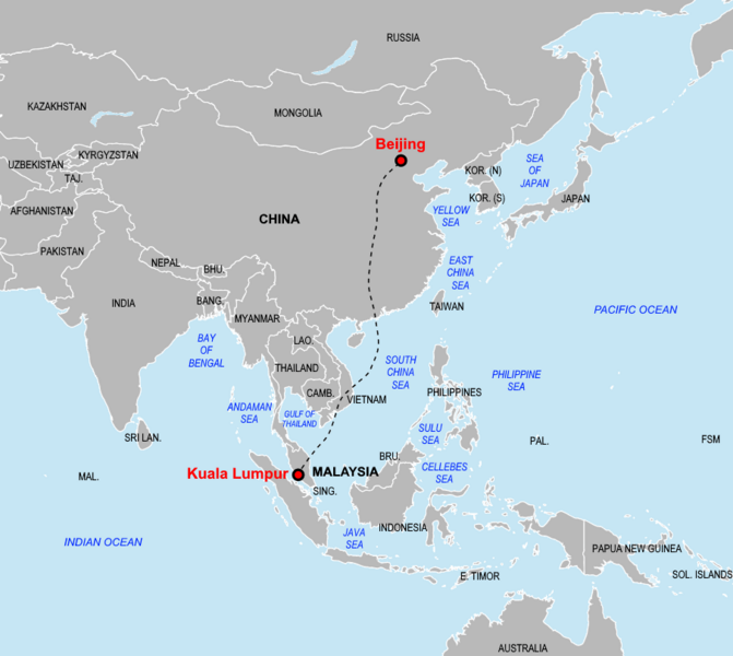
Description: A map showing the scheduled flight path of Malaysia Airlines Flight 370 on 8 March 2014, with labels of destinations, countries, and waters in the region.
Title: MH370 scheduled flight map with labels
Credit: Own work
Author: Weaveravel
Usage Terms: Creative Commons Attribution-Share Alike 4.0
License: CC BY-SA 4.0
License Link: https://creativecommons.org/licenses/by-sa/4.0
Attribution Required?: Yes
Image usage
The following page links to this image:

All content from Kiddle encyclopedia articles (including the article images and facts) can be freely used under Attribution-ShareAlike license, unless stated otherwise.