
Image: MandingoMap-1906 with color
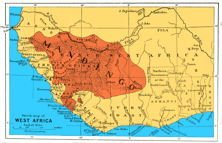
Description: Sketch map of West Africa to show area of Mandingo peoples, languages and influence. Coloring with File:MandingoMap-1906.jpg.
Title: MandingoMap-1906 with color
Credit: New York Public Library [1], from Liberia by Sir Harry Johnston ; with an appendix on the flora of Liberia by Dr. Otto Stapf ; 28 coloured illustrations by Sir Harry Johnston, 24 botanical drawings by Miss Matilda Smith...
Author: by the author and J. W. Addison (not in copyright [2])
Permission: This image is available from the New York Public Library's Digital Library under the strucID 1112268 This tag does not indicate the copyright status of the attached work. A normal copyright tag is still required. See Commons:Licensing for more information.
Usage Terms: Public domain
License: Public domain
Attribution Required?: No
Image usage
The following page links to this image:
