
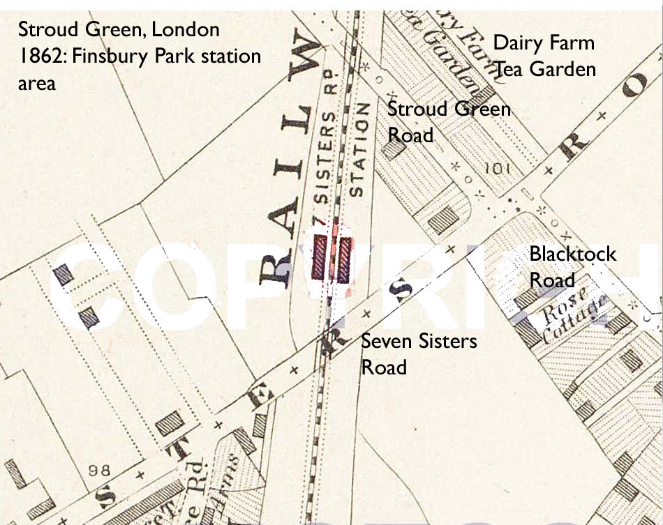
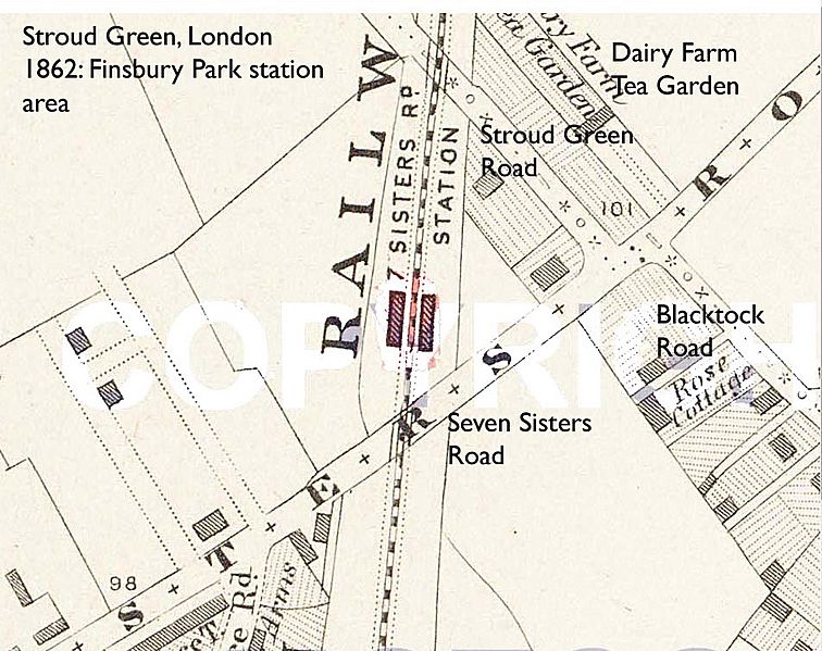
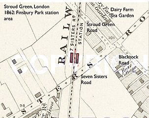
Image: Map- Stroud Green, London (Finsbury Park station 1862)
Size of this preview: 756 × 599 pixels. Other resolutions: 303 × 240 pixels | 950 × 753 pixels.
Original image (950 × 753 pixels, file size: 150 KB, MIME type: image/jpeg)
Description: For more information about this area see the Wikipedia pages about Stroud Green This map is taken from Edward Stanford's 24 plate 6 inch to the mile Library Map of London & Its Suburbs, which was first published in 1862. N.B. The present-day street names are given in Gill Sans type.
Title: Map- Stroud Green, London (Finsbury Park station 1862)
Usage Terms: Public domain
License: Public domain
Attribution Required?: No
Image usage
The following page links to this image:

All content from Kiddle encyclopedia articles (including the article images and facts) can be freely used under Attribution-ShareAlike license, unless stated otherwise.
.jpg)