Image: MapRRobertLoganJack1921

Size of this preview: 566 × 599 pixels. Other resolutions: 227 × 240 pixels | 634 × 671 pixels.
Original image (634 × 671 pixels, file size: 513 KB, MIME type: image/png)
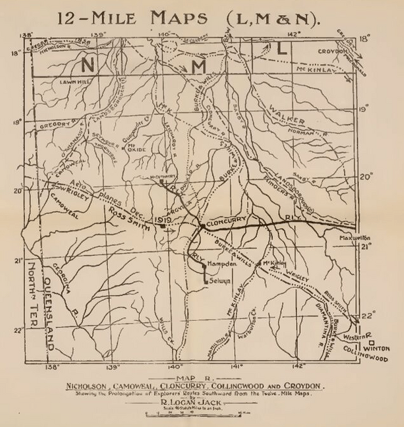
Description: Map of Western Queensland showing various places and routes taken by European explorers (albeit not always accurate)
Title: MapRRobertLoganJack1921
Credit: NORTHMOST AUSTRALIA, by way of Project Gutenberg Australia eBooks (which declares that all content is PD), here
Author: ROBERT LOGAN JACK
Permission: Australia (for PGA), the United Kingdom (publisher's base) and the USA (WP's base) all have the 70-year rule; Robert Logan Jack died in 1921.
Usage Terms: Public domain
License: Public domain
Attribution Required?: No
Image usage
The following page links to this image:

All content from Kiddle encyclopedia articles (including the article images and facts) can be freely used under Attribution-ShareAlike license, unless stated otherwise.
