
Image: Map Presenting the Discoveries of Russian Navigators in the Pacific Ocean, as Well as Those of Captain Cook WDL127
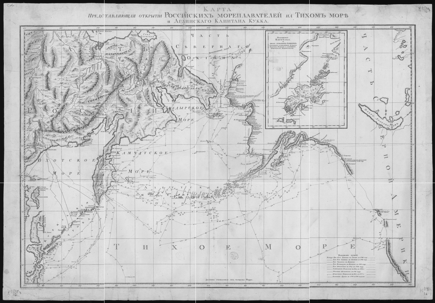
Description: This 1787 map shows the voyages of the leading Russian explorers of the North Pacific: Bering, Chirikov, Krenitsyn, Shpanberg, Walton, Shel'ting, and Petushkov. It also shows the 1778-79 voyage of British Captain James Cook. The route of each voyage is depicted in great detail, with ship locations plotted by the day. Other details on the map include administrative borders, population centers, Chukchi dwellings, and impassable ice. The inset map is of Kodiak Island, Alaska, denoted here by its Russian name of Kykhtak. Discoveries in geography; Discovery and exploration; Pacific Ocean
Title: Map Presenting the Discoveries of Russian Navigators in the Pacific Ocean, as Well as Those of Captain Cook
Credit: http://dl.wdl.org/127.png Gallery: http://www.wdl.org/en/item/127/
Author: Wilbrecht, Alexander
Usage Terms: Public domain
License: Public domain
Attribution Required?: No
Image usage
The following page links to this image:
