
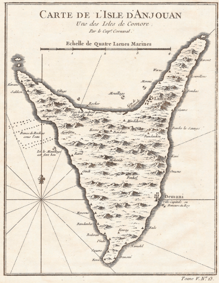
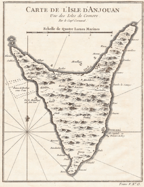
Image: Map of Anjouan,Comoros (1748) Jacques Nicolas Bellin
Size of this preview: 463 × 600 pixels. Other resolutions: 185 × 240 pixels | 763 × 988 pixels.
Original image (763 × 988 pixels, file size: 1.59 MB, MIME type: image/png)
Description: Map of the Island of Anjouan, one of the Islands of the Comoros from map by Jacque-Nicolas Bellin, featured in "Histoire Générale des Voyages" by Antoine François Prévost As reprinted in Joseph Smith, Captain Kidd Lore, and Treasure-Seeking in New York and New England during the Early Republic
Title: Map of Anjouan,Comoros (1748) Jacques Nicolas Bellin
Credit: Own work
Author: Darmokand
Usage Terms: Creative Commons Attribution-Share Alike 4.0
License: CC BY-SA 4.0
License Link: https://creativecommons.org/licenses/by-sa/4.0
Attribution Required?: Yes
Image usage

All content from Kiddle encyclopedia articles (including the article images and facts) can be freely used under Attribution-ShareAlike license, unless stated otherwise.
_Jacques_Nicolas_Bellin.png)