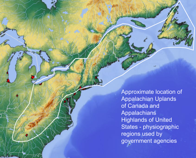
Image: Map of Appalachian Highlands and Appalachian Lowlands
Map_of_Appalachian_Highlands_and_Appalachian_Lowlands.png (629 × 506 pixels, file size: 506 KB, MIME type: image/png)
Description: This image is intended to portray the general area of the Appalachian Mountains as defined as the Appalachian Highlands physiographic region used by the United States Geologic Survey and the Appalachian Lowlands physiographic region as used by the Canadian Geologic Survey.
Author: Deanrah
Usage Terms: Creative Commons Attribution-Share Alike 3.0
License: CC-BY-SA-3.0
License Link: http://creativecommons.org/licenses/by-sa/3.0/
Attribution Required?: Yes
Image usage
The following page links to this image:

All content from Kiddle encyclopedia articles (including the article images and facts) can be freely used under Attribution-ShareAlike license, unless stated otherwise.

