
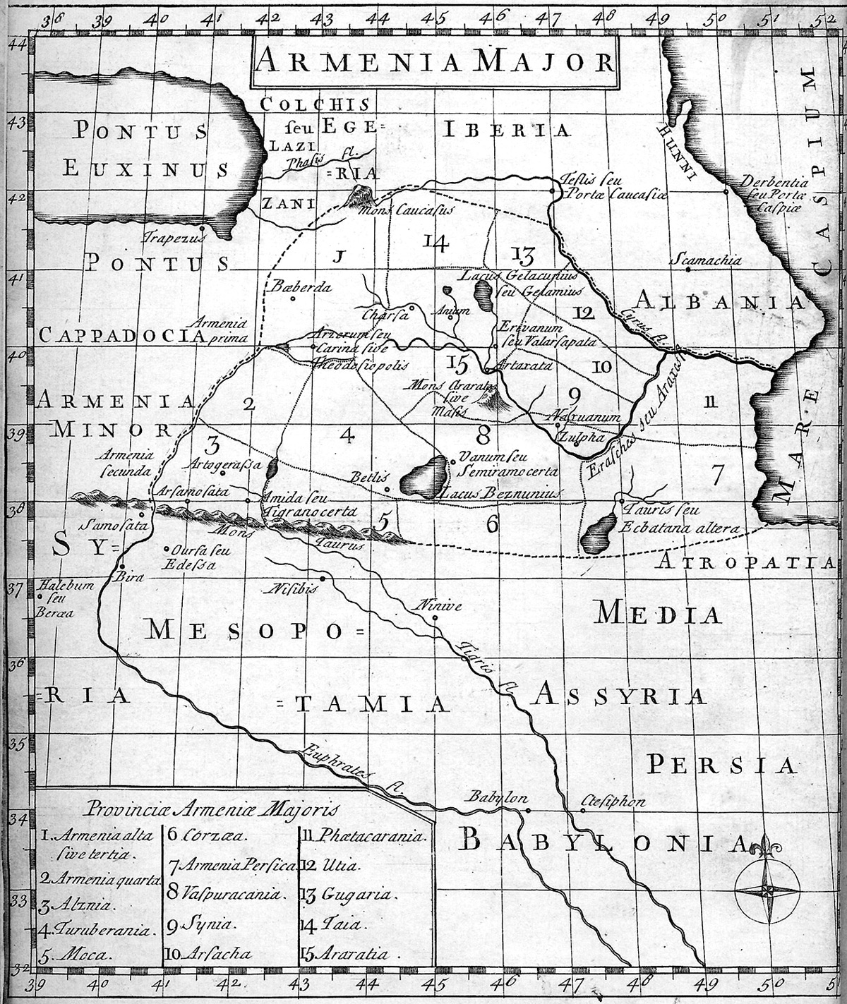
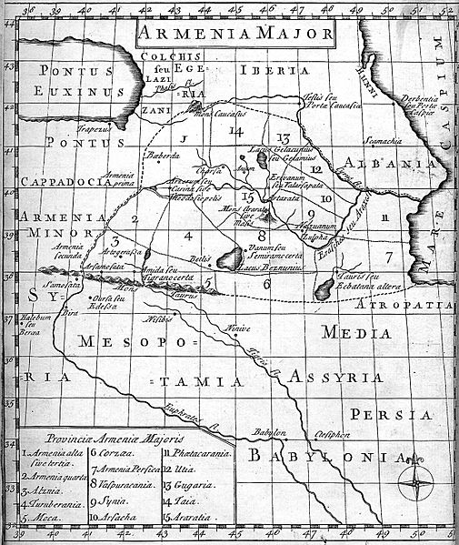
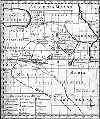
Image: Map of Armenia during Middle Ages, 1736
Size of this preview: 505 × 599 pixels. Other resolutions: 202 × 240 pixels | 1,200 × 1,423 pixels.
Original image (1,200 × 1,423 pixels, file size: 721 KB, MIME type: image/jpeg)
Description: Map of Armenia during Middle Ages, 1736. Translated from Latin by George Whiston and published in London, 1736.
Title: Map of Armenia during Middle Ages, 1736
Credit: Scanned from Encyclopedia
Author: George Whiston
Usage Terms: Public domain
License: Public domain
Attribution Required?: No
Image usage
The following page links to this image:

All content from Kiddle encyclopedia articles (including the article images and facts) can be freely used under Attribution-ShareAlike license, unless stated otherwise.