
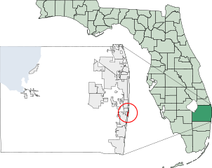
Image: Map of Florida highlighting Manalapan

Size of this PNG preview of this SVG file: 540 × 429 pixels. Other resolution: 302 × 240 pixels.
Original image (SVG file, nominally 540 × 429 pixels, file size: 1.02 MB)
Description: Map of Florida highlighting Manalapan
Title: Map of Florida highlighting Manalapan
Credit: Own work: Created using coordinate data from US Census Bureau, modified in Text Mode in accordance with incorporation data from 2000-2005 and data, added Loxahatchee Groves in accordance with new municipal boundaries.
Usage Terms: Creative Commons Attribution-Share Alike 3.0
License: CC-BY-SA-3.0
License Link: http://creativecommons.org/licenses/by-sa/3.0/
Attribution Required?: Yes
Image usage
The following page links to this image:

All content from Kiddle encyclopedia articles (including the article images and facts) can be freely used under Attribution-ShareAlike license, unless stated otherwise.