
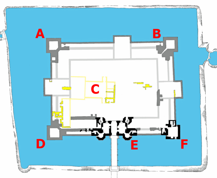
Image: Map of Kirby Muxloe Castle

Size of this preview: 730 × 599 pixels. Other resolutions: 292 × 240 pixels | 1,122 × 921 pixels.
Original image (1,122 × 921 pixels, file size: 326 KB, MIME type: image/png)
Description: Based on original by Peers, 1917; cleaned up, adjusted, labelled etc. by Hchc2009
Title: Map of Kirby Muxloe Castle
Credit: Kirby Muxloe Castle near Leicester, published 1917, (His Majesty's Stationery Office)
Author: Sir Charles Peers (22 September 1868 – 16 November 1952)
Usage Terms: Public domain
License: Public domain
Attribution Required?: No
Image usage
The following page links to this image:

All content from Kiddle encyclopedia articles (including the article images and facts) can be freely used under Attribution-ShareAlike license, unless stated otherwise.