
Image: Map of Qualla Boundary with subdivisions

Size of this preview: 757 × 600 pixels. Other resolutions: 303 × 240 pixels | 1,106 × 876 pixels.
Original image (1,106 × 876 pixels, file size: 118 KB, MIME type: image/jpeg)
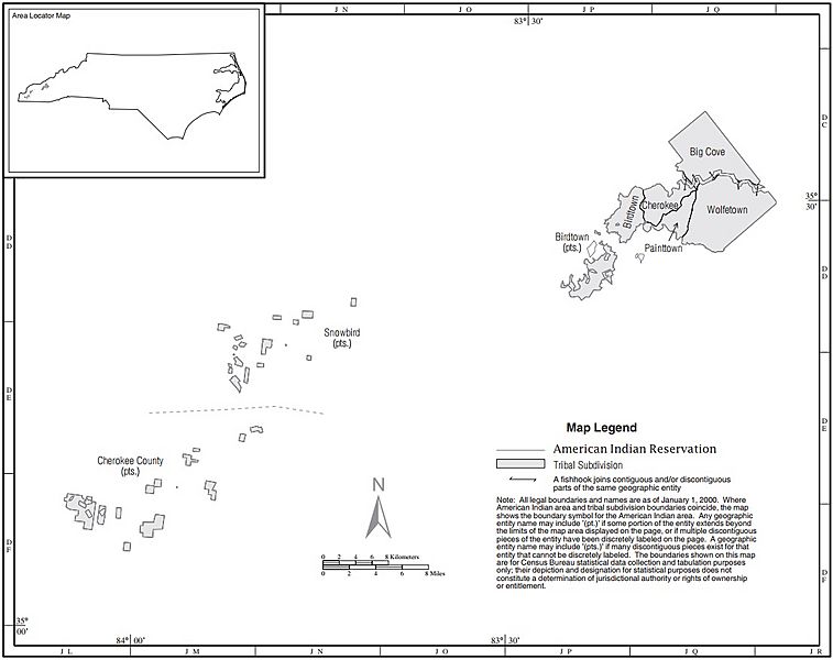
Description: Map of Qualla Boundary (Eastern Band of Cherokee Indians) with subdivisions. From U.S. Census Bureau, Census 2000.
Title: Map of Qualla Boundary with subdivisions
Credit: Taken from US Census website [1] and cropped by WashuOtaku
Author: US Census
Usage Terms: Public domain
License: Public domain
Attribution Required?: No
Image usage
The following page links to this image:

All content from Kiddle encyclopedia articles (including the article images and facts) can be freely used under Attribution-ShareAlike license, unless stated otherwise.