
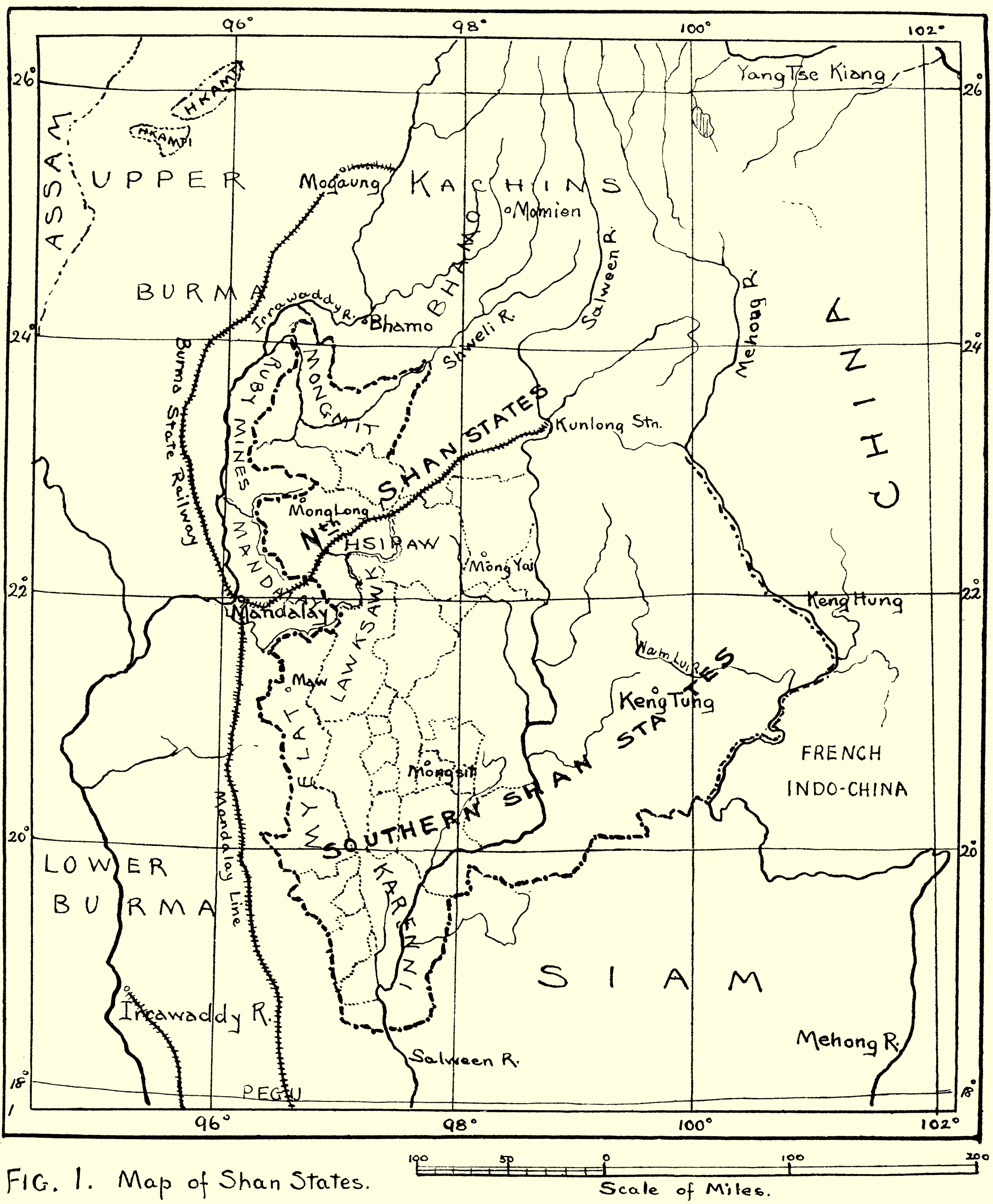
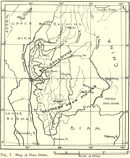
Image: Map of Shan States1917
Size of this preview: 495 × 600 pixels. Other resolutions: 198 × 240 pixels | 2,535 × 3,072 pixels.
Original image (2,535 × 3,072 pixels, file size: 786 KB, MIME type: image/png)
Description: A map of Shan States from the booklet: "Burmese textiles".
Title: Map of Shan States1917
Credit: Burmese Textiles, from the Shan and Kachin districts
Author: Laura E. Start
Permission: PD
Usage Terms: Public domain
License: Public domain
Attribution Required?: No
Image usage
The following page links to this image:

All content from Kiddle encyclopedia articles (including the article images and facts) can be freely used under Attribution-ShareAlike license, unless stated otherwise.