Wuntho facts for kids
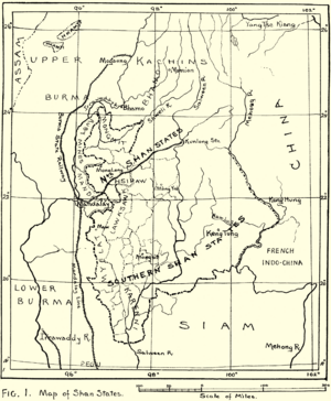
Wuntho (Burmese: ဝန်းသို) or Waing Hso (Shan: ဝဵင်းသိူဝ်) was a special area in Upper Burma a long time ago. This was when Burma (now called Myanmar) was under British control. Wuntho was about 6,200 square kilometers (2,400 square miles) in size. Around 150,000 people lived there. It was located between two important rivers, the Ayeyarwady River and the Chindwin River.
Wuntho's Story
The state of Wuntho was created a very long time ago, even before the year 1200. It had its own rulers and ways of life.
British Control and Changes
In 1885, the British took control of Upper Burma. They started to rule the whole area. Wuntho tried to fight back in 1891. This was a rebellion against the British.
However, the British stopped the uprising. A large group of 1,800 British soldiers, led by General Sir George Wolseley, took over the town of Wuntho.
In 1892, Wuntho officially became part of the British Empire. It was added to the Katha District. Later, on December 22, 2018, Wuntho became part of Kawlin District. It joined Kawlin and Pinlebu.
Wuntho was known as a Shan state by the Burmese people. But it was never treated the same way as the other Shan states located to the east.
The Rulers of Wuntho
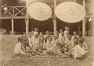
The leaders of Wuntho were called Saopha. This was their special title. Wuntho had many Saophas over hundreds of years. The last Saopha of Wuntho was Sao Oun Möng. He ruled until February 7, 1891, when the British took full control.
 | James B. Knighten |
 | Azellia White |
 | Willa Brown |


