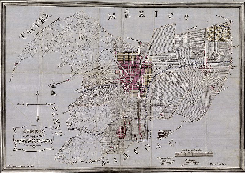
Image: Map of Tacubaya, D.F. 1897

Size of this preview: 800 × 565 pixels. Other resolutions: 320 × 226 pixels | 4,310 × 3,045 pixels.
Original image (4,310 × 3,045 pixels, file size: 5.98 MB, MIME type: image/jpeg)
Description: 1897 map of Municipality of Tacubaya, Mexican Federal District
Title: Map of Tacubaya, D.F. 1897
Credit: Mapoteca Manuel Orozco y Berra, Servicio de Información Agroalimentaria y Pesquera, Mexico (http://w2.siap.sagarpa.gob.mx/mapoteca/mapas/2552-OYB-725-A.jpg)
Author: Mexican government (Municipiality of Tacubaya, 1987)
Usage Terms: Public domain
License: Public domain
Attribution Required?: No
Image usage
The following page links to this image:

All content from Kiddle encyclopedia articles (including the article images and facts) can be freely used under Attribution-ShareAlike license, unless stated otherwise.
