
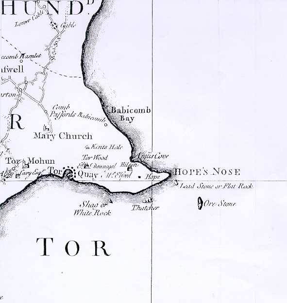
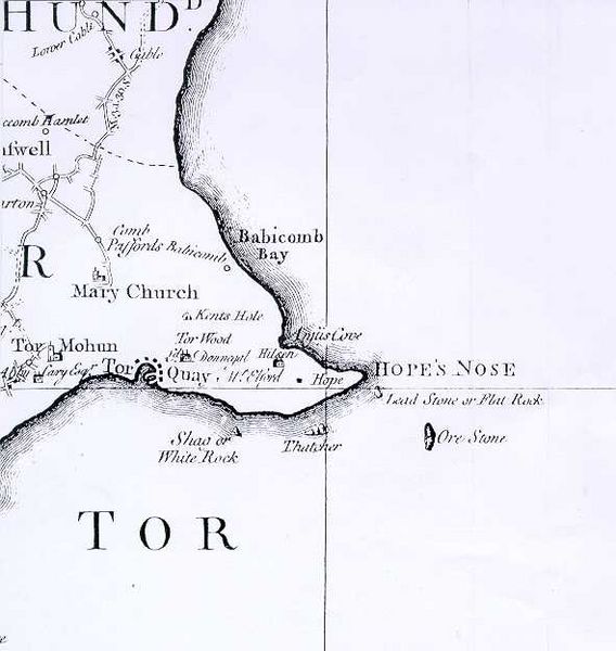
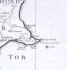
Image: Map of Torquay, 1795
Size of this preview: 568 × 600 pixels. Other resolutions: 227 × 240 pixels | 591 × 624 pixels.
Original image (591 × 624 pixels, file size: 35 KB, MIME type: image/jpeg)
Description: Map of Torquay, 1795 based on Donn's one inch to the mile survey of 1765.
Title: Map of Torquay, 1795
Credit: Original mapping:1975 map based Donn's one inch to the mile survey of 1765.
Author: Undetermined but original survey by Donn
Usage Terms: Public domain
License: Public domain
License Link: //en.wikipedia.org/wiki/File:Map_of_Torquay,_1795.jpg
Image usage
The following page links to this image:

All content from Kiddle encyclopedia articles (including the article images and facts) can be freely used under Attribution-ShareAlike license, unless stated otherwise.