
Image: Map of wedge maryland pennsylvania delaware 1850 survey corps of engineers

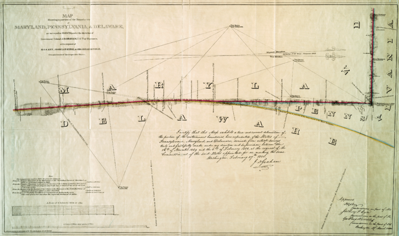
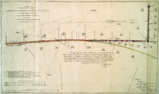
Description: Map showing a portion of the boundaries of Maryland, Pennsylvania, & Delaware : as surveyed in 1849 & '50, under the direction of Lieutenant Colonel J.D. Graham, U.S. Topl. Engineers, at the request of H.G.S. Key, Joshua P. Eyre, & Geo. Read Riddle, commissioners of the respective states
Title: Map of wedge maryland pennsylvania delaware 1850 survey corps of engineers
Credit: https://digitalcollections.nypl.org/items/510d47da-edfe-a3d9-e040-e00a18064a99, New York Public Library - Lionel Pincus and Princess Firyal Map Division
Author: Lt. Col. J.D. Graham, U.S. Army Corps of Topographical Engineers
Permission: This image or file is a work of a U.S. Army Corps of Engineers soldier or employee, taken or made as part of that person's official duties. As a work of the U.S. federal government, the image is in the public domain.
Usage Terms: Public domain
License: Public domain
Attribution Required?: No
Image usage
The following page links to this image:
