
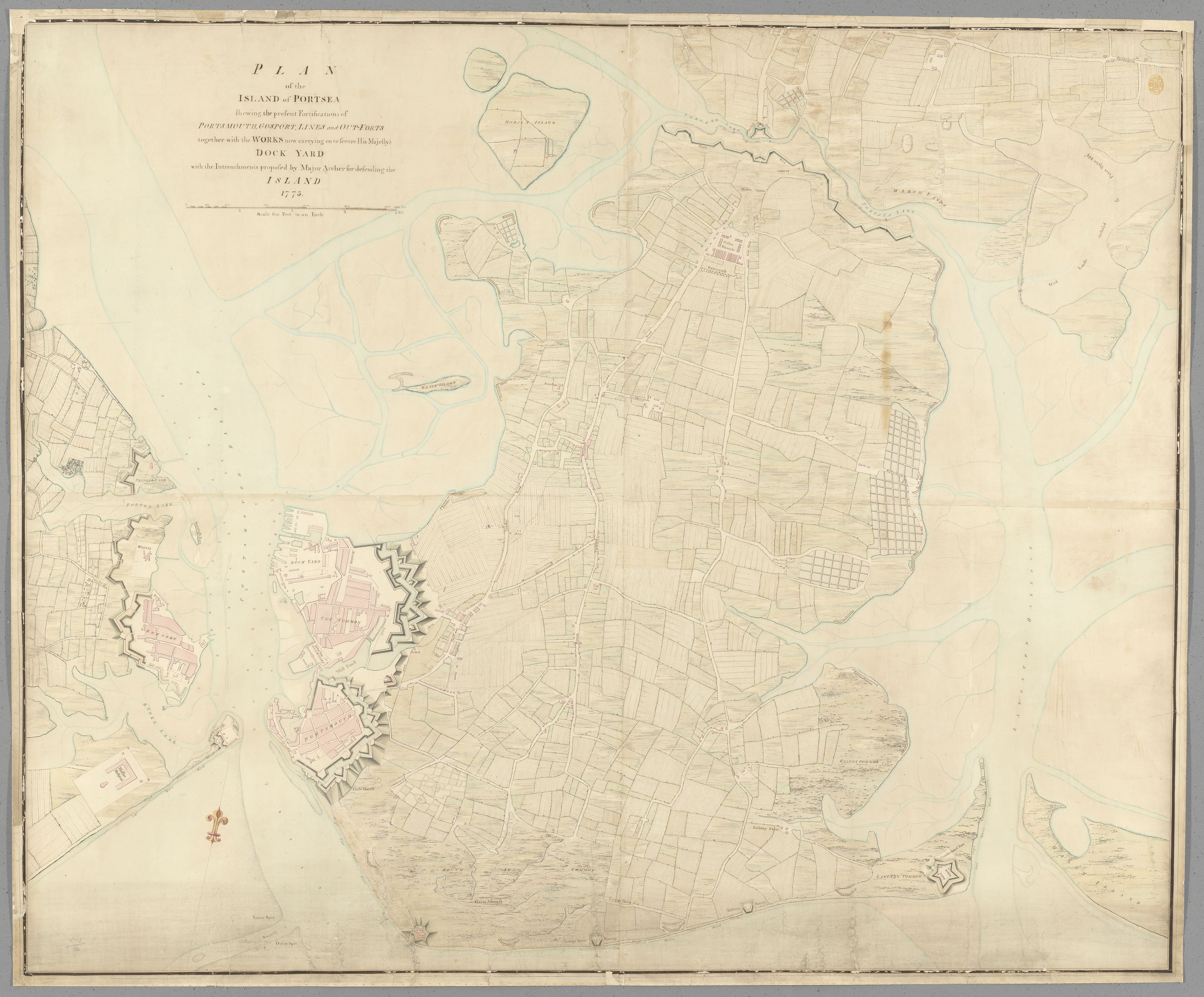
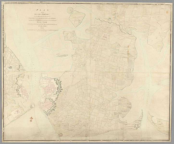
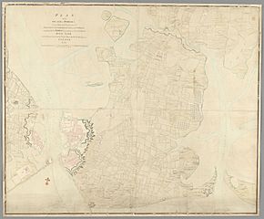
Image: Map showing Fortifications of the Island of Portsea, 1773
Description: Map information: Title: "Plan of the island of Portsea, shewing the present fortifications of Portsmouth, Gosport, lines and out-forts, together with the works now carrying on to secure His Majesty's dock-yard " British Library shelfmark: Maps K.Top.14.16. Place of publication: [England], Date of publication: 1773. Item type: 1 map Medium: hand coloured pen and ink drawing with brown wash Dimensions: 100 x 124 cm Former owner: George III, King of Great Britain, 1738-1820 - Explore this item in the British Library’s catalogue - View all the illustrations found in this publication - Order a higher quality scanned version of this image from the British Library (maps_k_top_14_16_8_tab_end) The Topographical Collection of George III contains drawn and printed maps, views and atlases produced between 1500 and 1824. Read more about the collection here. Explore and experiment with the British Library’s digital collections. The British Library community is able to flourish online thanks to freely available resources such as this. You can help support our mission to continue making our collection accessible to everyone, for research, inspiration and enjoyment, by donating on the British Library supporter webpage here. Thank you for supporting the British Library.
Title: Map showing Fortifications of the Island of Portsea, 1773
Credit: https://www.flickr.com/photos/britishlibrary/50265604562/
Author: British Library
Usage Terms: No known copyright restrictions
License: No restrictions
License Link: https://www.flickr.com/commons/usage/
Attribution Required?: No
Image usage
The following page links to this image:
