
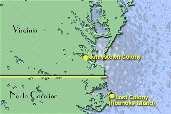
Image: Map showing location of Jamestown and Roanoke Island Colonies
No higher resolution available.
Map_showing_location_of_Jamestown_and_Roanoke_Island_Colonies.PNG (600 × 400 pixels, file size: 77 KB, MIME type: image/png)
Title: Map showing location of Jamestown and Roanoke Island Colonies
Usage Terms: Public domain
License: Public domain
Attribution Required?: No
Image usage
The following page links to this image:

All content from Kiddle encyclopedia articles (including the article images and facts) can be freely used under Attribution-ShareAlike license, unless stated otherwise.