
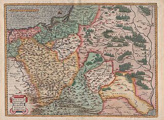
Image: Mapa Polski i Litwy 1570

Size of this preview: 800 × 587 pixels. Other resolutions: 320 × 235 pixels | 12,604 × 9,246 pixels.
Original image (12,604 × 9,246 pixels, file size: 127.67 MB, MIME type: image/jpeg)
Description: The oldest map of Poland and Lithuania of Waclaw Grodziecki vel Grodecki 1570
Usage Terms: Public domain
Image usage
The following page links to this image:

All content from Kiddle encyclopedia articles (including the article images and facts) can be freely used under Attribution-ShareAlike license, unless stated otherwise.