
Image: Mapa levantamiento campesino 1932

Size of this PNG preview of this SVG file: 800 × 441 pixels. Other resolution: 320 × 176 pixels.
Original image (SVG file, nominally 1,088 × 600 pixels, file size: 71 KB)
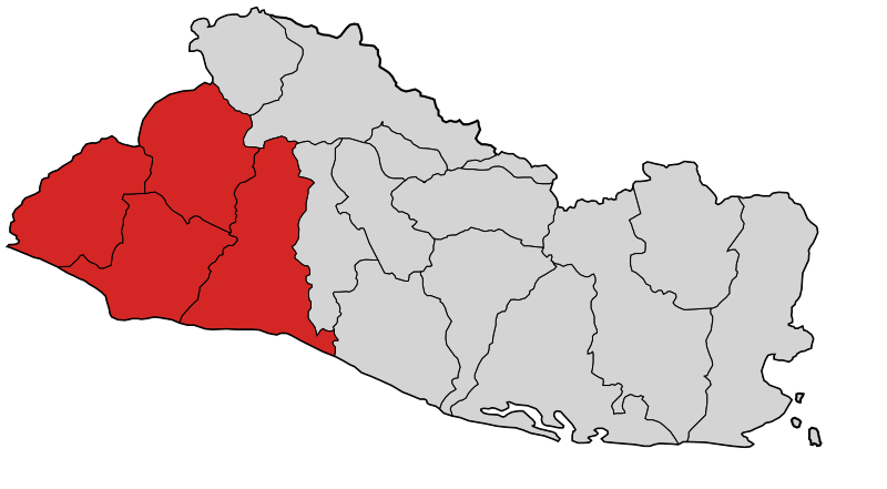
Description: Mapa de las zonas afectadas por el levantamiento campesino en El Salvador en 1932
Title: Mapa levantamiento campesino 1932
Credit: imagen de dominio público creada por Netito777 e Image:Departments of El Salvador.svg
Author: Netito777, vectorizada por Jarke
Usage Terms: Public domain
License: Public domain
Attribution Required?: No
Image usage
The following page links to this image:

All content from Kiddle encyclopedia articles (including the article images and facts) can be freely used under Attribution-ShareAlike license, unless stated otherwise.