
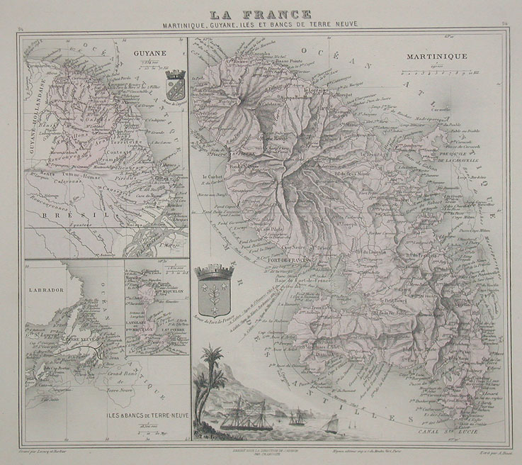
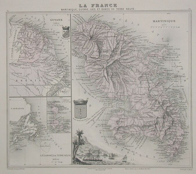
Image: Martinique1865
Size of this preview: 674 × 600 pixels. Other resolutions: 270 × 240 pixels | 737 × 656 pixels.
Original image (737 × 656 pixels, file size: 135 KB, MIME type: image/jpeg)
Description: Hand-coloured map of Martinique (right), French Guiana (top left), and Saint Pierre and Miquelon (bottom left). An illustration of Fort-de-France is shown at the lower centre of the map.
Title: Martinique1865
Credit: [1]
Author: J. Migeon
Usage Terms: Public domain
License: Public domain
Attribution Required?: No
Image usage
The following page links to this image:

All content from Kiddle encyclopedia articles (including the article images and facts) can be freely used under Attribution-ShareAlike license, unless stated otherwise.