
Image: Matagorda island 0001
No higher resolution available.
Matagorda_island_0001.png (534 × 480 pixels, file size: 30 KB, MIME type: image/png)
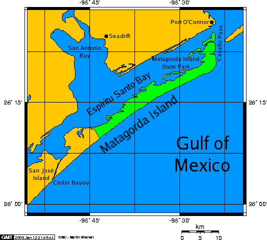
Description: A map of Matagorda Island, a barrier island on the Texas Gulf coast in the United States, south of the town of Port O'Connor.
Title: Matagorda island 0001
Credit: The map was created with this online map creation tool.
Usage Terms: Attribution-ShareAlike 3.0
License: Cc-by-sa-3.0
License Link: https://creativecommons.org/licenses/by-sa/3.0/
Image usage
The following 2 pages link to this image:

All content from Kiddle encyclopedia articles (including the article images and facts) can be freely used under Attribution-ShareAlike license, unless stated otherwise.