
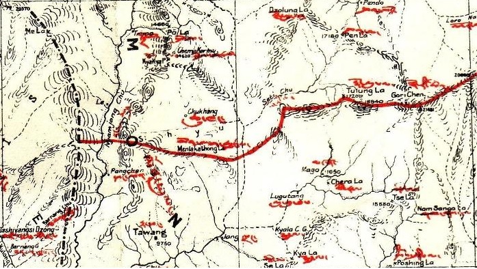
Image: McMahon-Line-map-Tawang-sector
No higher resolution available.
McMahon-Line-map-Tawang-sector.jpg (697 × 394 pixels, file size: 178 KB, MIME type: image/jpeg)
Description: This is a cropped version of File:McMahon Line Simla Accord Treaty 1914 Map1.jpg, highlighting the Tawang sector; the site of Sino-Indian border conflict in 1962
Title: McMahon-Line-map-Tawang-sector
Credit: Simla Convention
Author: Government of United Kingdom
Usage Terms: Public domain
License: Public domain
Attribution Required?: No
Image usage
The following page links to this image:

All content from Kiddle encyclopedia articles (including the article images and facts) can be freely used under Attribution-ShareAlike license, unless stated otherwise.