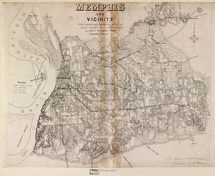
Image: Memphis and vicinity LOC 2006636341

Size of this preview: 733 × 600 pixels. Other resolutions: 293 × 240 pixels | 8,416 × 6,887 pixels.
Original image (8,416 × 6,887 pixels, file size: 9.09 MB, MIME type: image/jpeg)
Description: LC Civil War maps (2nd ed.), S168, 429 Finished pen and ink map drawn on tracing cloth. "For General Sherman, General of the Army." Indicates fortifications at Fort Pickering and Fort Harris, roads and streets, railroads, vegetation, drainage, relief by hachures, houses, fences, and the names of a few residents in the outlying areas. Date from Stephenson's Civil War maps, 1989. Available also through the Library of Congress web site as raster image.
Usage Terms: Public domain
Image usage
The following page links to this image:

All content from Kiddle encyclopedia articles (including the article images and facts) can be freely used under Attribution-ShareAlike license, unless stated otherwise.
