
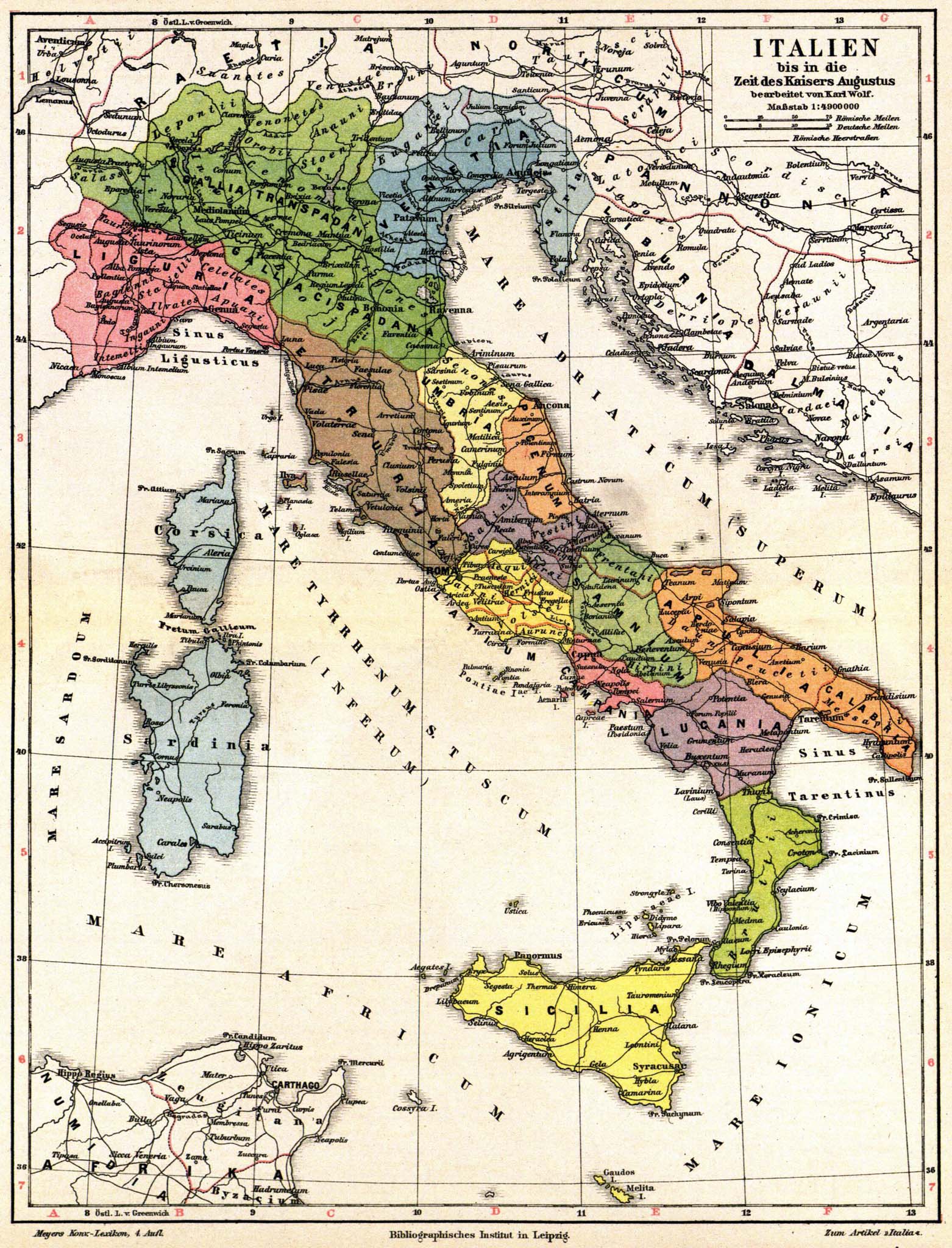
Image: Meyers b9 s0067b
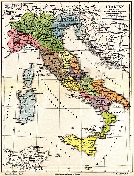
Size of this preview: 457 × 599 pixels. Other resolutions: 183 × 240 pixels | 1,562 × 2,048 pixels.
Original image (1,562 × 2,048 pixels, file size: 594 KB, MIME type: image/jpeg)
Description: Old map of Italy and Austria, in time period of Caesar Augustus (27 BCE - AD 14). The map has labels in Latin & German, from Volume 9 of German encyclopedia Meyers Konversations-Lexikon.
Title: Meyers b9 s0067b
Credit: Meyers Konversations-Lexikon, Band 9 http://susi.e-technik.uni-ulm.de:8080/Meyers2/index/index.html
Author: Karl Wolf
Usage Terms: Public domain
License: Public domain
Attribution Required?: No
Image usage
The following page links to this image:

All content from Kiddle encyclopedia articles (including the article images and facts) can be freely used under Attribution-ShareAlike license, unless stated otherwise.