
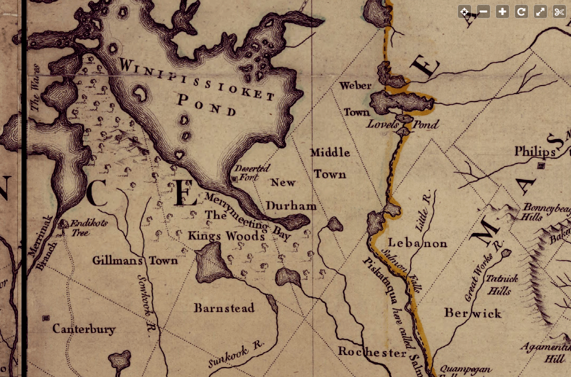
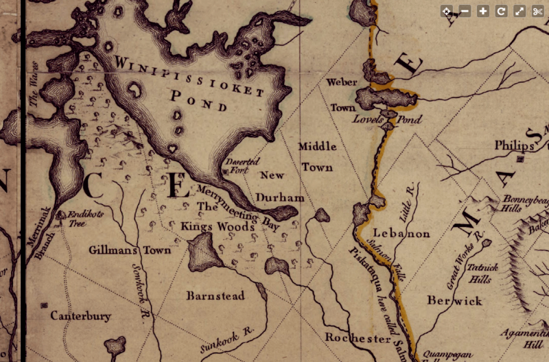
Image: Middleton NH 1755, from Library of Congress map
Size of this preview: 800 × 528 pixels. Other resolutions: 320 × 211 pixels | 1,142 × 754 pixels.
Original image (1,142 × 754 pixels, file size: 699 KB, MIME type: image/png)
Description: A map of the most inhabited part of New England; containing the provinces of Massachusets Bay and New Hampshire, with the colonies of Konektikut and Rhode Island, divided into counties and townships: The whole composed from actual surveys and its situation adjusted by astronomical observations.
Title: Middleton NH 1755, from Library of Congress map
Credit: Library of Congress
Author: [London] Thos. Jefferys, 1755.
Usage Terms: Public domain
License: Public domain
Attribution Required?: No
Image usage
The following page links to this image:

All content from Kiddle encyclopedia articles (including the article images and facts) can be freely used under Attribution-ShareAlike license, unless stated otherwise.