
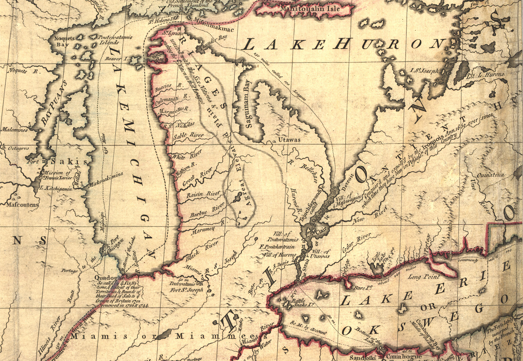
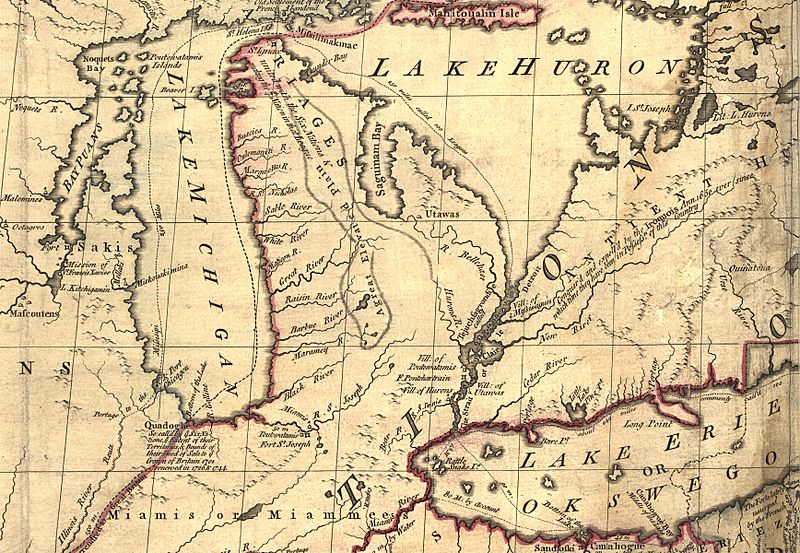
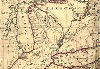
Image: Mitchell Map-excerpt02
Size of this preview: 800 × 553 pixels. Other resolutions: 320 × 221 pixels | 1,735 × 1,200 pixels.
Original image (1,735 × 1,200 pixels, file size: 1.11 MB, MIME type: image/jpeg)
Description: A part of the Mitchell Map - A map of the British and French dominions in North America,...; 1757 Excerpt showing Michigan area.
Title: Mitchell Map-excerpt02
Credit: This map is available from the United States Library of Congress's Geography & Map Division under the digital ID g3300.ar004000. This tag does not indicate the copyright status of the attached work. A normal copyright tag is still required. See Commons:Licensing for more information.
Author: John Mitchell; digital version, Library of Congress, Geography and Map Division.
Usage Terms: Public domain
License: Public domain
Attribution Required?: No
Image usage
The following page links to this image:

All content from Kiddle encyclopedia articles (including the article images and facts) can be freely used under Attribution-ShareAlike license, unless stated otherwise.