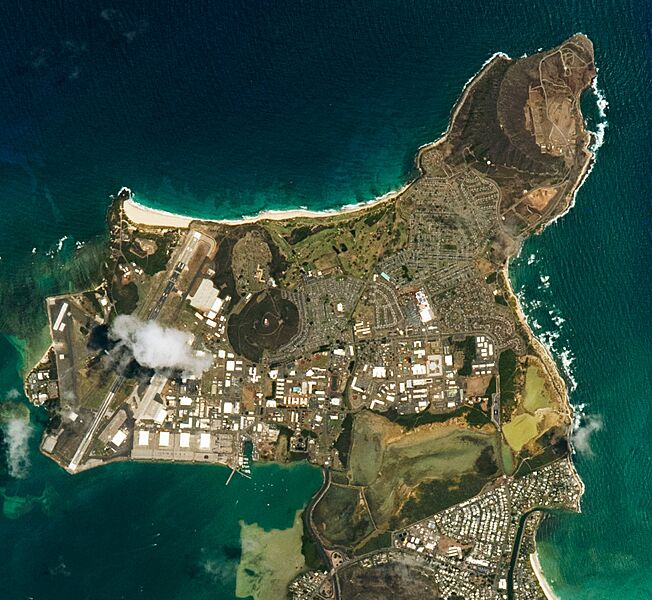
Image: Mokapu Peninsula 2022 (cropped) (rotated)

Size of this preview: 652 × 600 pixels. Other resolutions: 261 × 240 pixels | 1,710 × 1,573 pixels.
Original image (1,710 × 1,573 pixels, file size: 1.16 MB, MIME type: image/jpeg)
Description: Mokapu Peninsula shot from the International Space Station. Spacecraft nadir point (this position is the geo tag of this file): 19.6° N, 156.6° W. Spacecraft Altitude: 223 nautical miles (413km)
Title: Mokapu Peninsula 2022 (cropped) (rotated)
Credit: https://earthobservatory.nasa.gov/images/150983/mokapu-peninsula, enhanced version of original file ISS067-E-315691
Author: NASA / ISS Expedition 67 crew
Usage Terms: Public domain
License: Public domain
Attribution Required?: No
Image usage
The following page links to this image:

All content from Kiddle encyclopedia articles (including the article images and facts) can be freely used under Attribution-ShareAlike license, unless stated otherwise.
