
Image: Montana Congressional Districts, 118th Congress

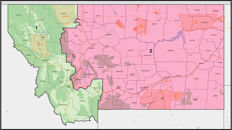
Description: Map of the congressional districts of Montana, complemented with county boundaries and neighbouring states, as well as freeways and arterial roads, water areas, urban areas, national parks and forests, military installations, and American Indian areas (including reservations) in Montana. These congressional districts are put into effect from 2023, following the 2022 US House elections. Shapefiles from the United States Census Bureau, the Montana Department of Transportation, the United States Forest Service, and the National Park Service, converted with Mapshaper (Mercator projection).
Title: Montana Congressional Districts, 118th Congress
Credit: Own work
Author: Twotwofourtysix
Usage Terms: Creative Commons Attribution-Share Alike 4.0
License: CC BY-SA 4.0
License Link: https://creativecommons.org/licenses/by-sa/4.0
Attribution Required?: Yes
Image usage
The following page links to this image:
