
Image: Montebello Islands
No higher resolution available.
Montebello_Islands.jpg (714 × 444 pixels, file size: 122 KB, MIME type: image/jpeg)
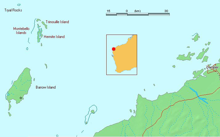
Description: Map of Barrow island and the Montebello Islands, Western Australia Drawn by User:I@n using source map at http://www.demis.nl/home/pages/wms/demiswms.htm
Title: Montebello Islands
Credit: Transferred from en.wikipedia to Commons by Zil using CommonsHelper.
Author: Moondyne at English Wikipedia
Usage Terms: Public domain
License: Public domain
Attribution Required?: No
Image usage
The following page links to this image:

All content from Kiddle encyclopedia articles (including the article images and facts) can be freely used under Attribution-ShareAlike license, unless stated otherwise.