
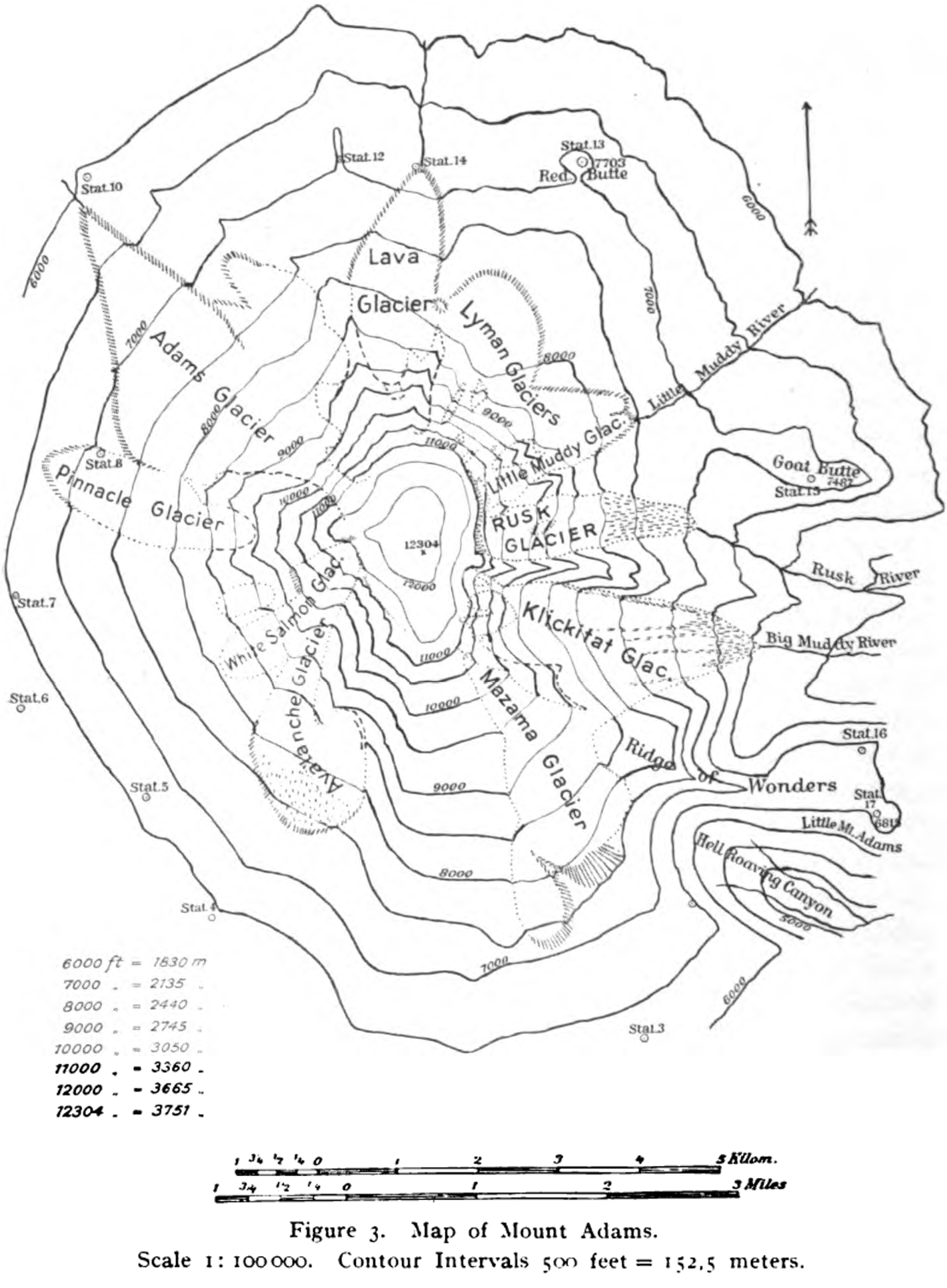
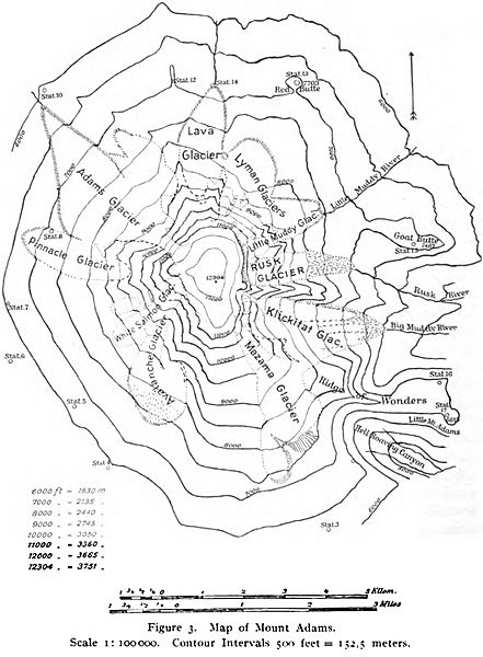
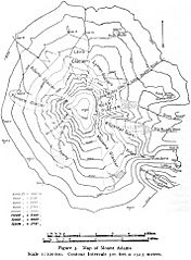
Image: Mount Adams (Washington) Map 1901 Reid
Size of this preview: 441 × 600 pixels. Other resolutions: 176 × 240 pixels | 1,421 × 1,933 pixels.
Original image (1,421 × 1,933 pixels, file size: 755 KB, MIME type: image/jpeg)
Description: Map of the 1901 survey of Mount Adams (Washington) with details of the glaciers drawn by Harry Fielding Reid.
Title: Mount Adams (Washington) Map 1901 Reid
Credit: https://books.google.com/books?id=6JpeAAAAIAAJ&printsec=frontcover#v=onepage&q&f=false
Author: Harry Fielding Reid
Usage Terms: Public domain
License: Public domain
Attribution Required?: No
Image usage
The following page links to this image:

All content from Kiddle encyclopedia articles (including the article images and facts) can be freely used under Attribution-ShareAlike license, unless stated otherwise.
_Map_1901_Reid.jpg)