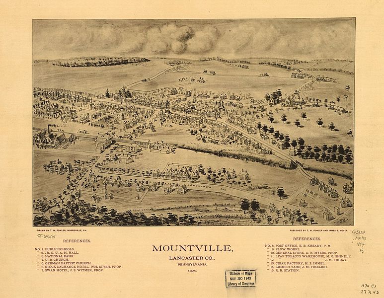
Image: Mountville PA 1894

Size of this preview: 773 × 600 pixels. Other resolutions: 310 × 240 pixels | 1,266 × 982 pixels.
Original image (1,266 × 982 pixels, file size: 264 KB, MIME type: image/jpeg)
Description: Birds-eye-view map of Mountville, Pennsylvania in 1894 (not drawn to scale) which shows some street names, buildings, and includes numerical labels for points of interest within the borough such as businesses, churches, government buildings and schools. Drawn by T. M. (Thaddeus Mortimer) Fowler (1842-1922) and published by James B. Moyer.
Title: Mountville PA 1894
Credit: https://www.loc.gov/item/75696505/
Author: Fowler, T. M. (Thaddeus Mortimer)
Usage Terms: Public domain
License: Public domain
Attribution Required?: No
Image usage
The following page links to this image:

All content from Kiddle encyclopedia articles (including the article images and facts) can be freely used under Attribution-ShareAlike license, unless stated otherwise.
