
Image: My Public Lands Roadtrip- Cedar Mesa in Utah (19883938459)
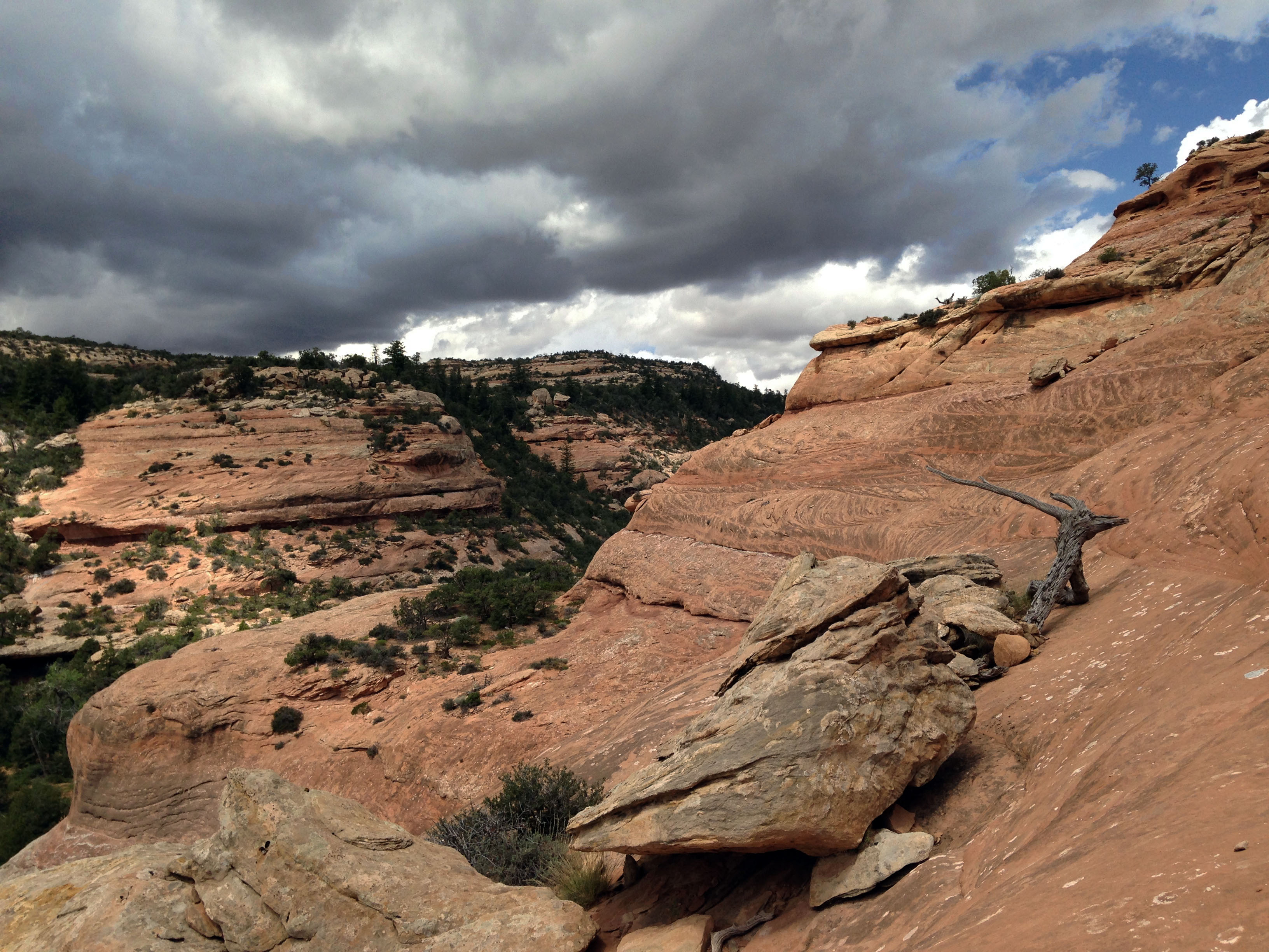
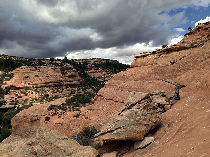
Description: This week, #mypubliclandsroadtrip explores BLM Utah! First stop – an 8-mile round trip hike along ancestral puebloan ruins in southern Utah’s spectacular Cedar Mesa. At the Monticello Field Office, we met BLM-Utah archaeologist guide Cameron Cox for a behind-the-scenes trip through the South Fork of Mule Canyon – located halfway between Blanding and Natural Bridges National Monument. After about a mile and a half in, we came upon a 700-year-old granary called House on Fire. Aptly named for its colorful, streaked roof, this ruin displays a vibrant reddish-glow when sunlight penetrates its alcove. As we hiked deeper into Mule canyon, we checked out more alcove ruins, a collapsed kiva and cliff ruins that likely housed many families – like an ancient apartment building. After several more hours of bushwhacking, we came upon a very large and steep roadblock - the end of the road - where we climbed out of the canyon and were rewarded with extraordinary views of Cedar Mesa. A nice start to the #mypubliclandsroadtrip in Utah! Please remember – Ancient puebloan ruins are important cultural sites that cannot be replaced. Always practice Leave No Trace, and do not add-to, remove, or deface any of the ruins. Photo: Hannah Cowan, BLM Utah
Title: My Public Lands Roadtrip- Cedar Mesa in Utah (19883938459)
Credit: My Public Lands Roadtrip: Cedar Mesa in Utah
Author: Bureau of Land Management
Usage Terms: Public domain
License: Public domain
Attribution Required?: No
Image usage
The following page links to this image:

.jpg)