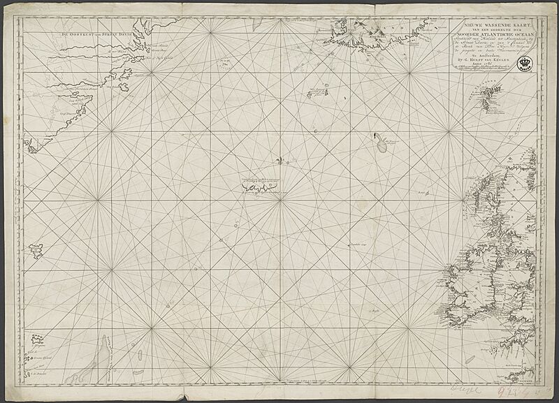
Image: NL-HaNA 4.MCAL 2134A

Size of this preview: 800 × 577 pixels. Other resolutions: 320 × 231 pixels | 12,498 × 9,010 pixels.
Original image (12,498 × 9,010 pixels, file size: 20.29 MB, MIME type: image/jpeg)
Description: Nieuwe Wassende Kaart van een gedeelte der Noorder Atlantische Oceaan; Strekkende van Hitland tot Staatenhoek, by die Straat Davis; en van 't Canaal tot de Bank van Terre Neuve enz. 1786 Koperdruk Groot 0,715 - 1,02 El.
Usage Terms: Public domain
Image usage
The following page links to this image:

All content from Kiddle encyclopedia articles (including the article images and facts) can be freely used under Attribution-ShareAlike license, unless stated otherwise.
