
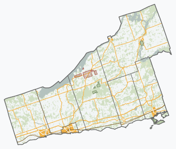
Image: Northumberland locator map 2021

Size of this PNG preview of this SVG file: 356 × 302 pixels. Other resolution: 283 × 240 pixels.
Original image (SVG file, nominally 356 × 302 pixels, file size: 2.81 MB)
Description: A series of SVG overviews of Ontario counties and county-equivalents, generated using open data from Statistics Canada and the province of Ontario. Current to the 2016 census. Made in QGIS.
Title: Northumberland locator map 2021
Credit: Own work
Author: awmcphee
Usage Terms: Creative Commons Zero, Public Domain Dedication
License: CC0
License Link: http://creativecommons.org/publicdomain/zero/1.0/deed.en
Attribution Required?: No
Image usage
The following page links to this image:

All content from Kiddle encyclopedia articles (including the article images and facts) can be freely used under Attribution-ShareAlike license, unless stated otherwise.